Collonges
Map

Map

Facts and practical information
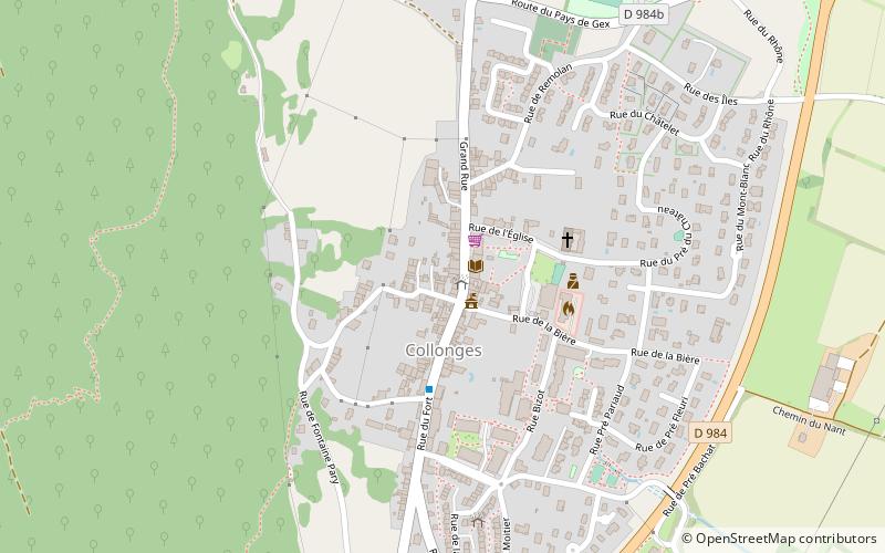
Collonges is a commune in the Ain department in the Auvergne-Rhône-Alpes region in Eastern France. In 2018, it had a population of 2,222. Collonges is located on the border with the Haute-Savoie department, just northeast of Fort l'Écluse in Léaz, Ain. It is also situated 20 km southwest of Geneva, Switzerland. ()
Location
Auvergne-Rhône-Alpes
ContactAdd
Social media
Add
Day trips
Collonges – popular in the area (distance from the attraction)
Nearby attractions include: Fort l'Écluse, Vuache, Pont du Moulin des Pierres, Arpitania.


