Jongieux
#4755 among destinations in France


Facts and practical information
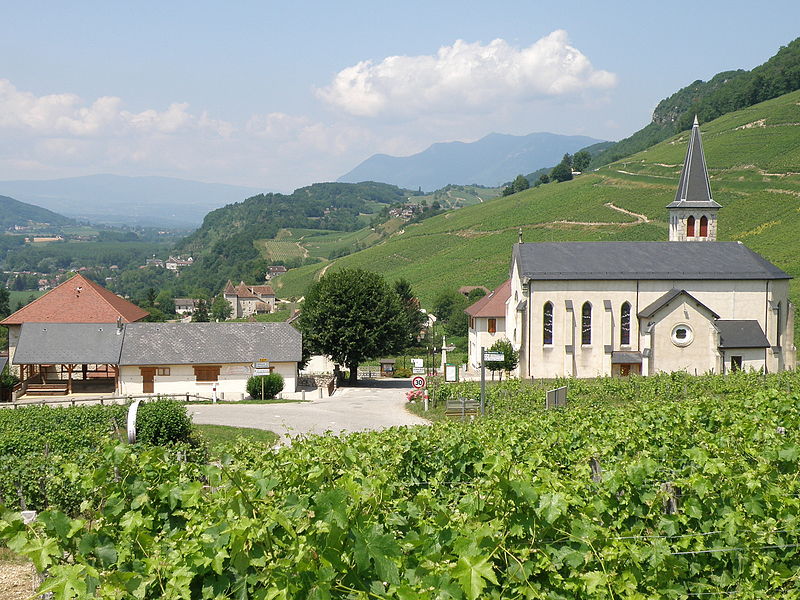
Jongieux is a commune in the Savoie department in the Auvergne-Rhône-Alpes region in south-eastern France. ()
Auvergne-Rhône-AlpesFrance
Jongieux plan & book
Unleash the traveler in you — discover the cheapest flight deals, find the perfect hotel or hostel nearby, and search for the best car rental prices. Travel at your own pace to discover new places and enjoy your journey.
Jongieux – popular in the area (distance from the attraction)
Nearby attractions include: Hautecombe Abbey, Lac du Bourget, Belley Cathedral, Dent du Chat.
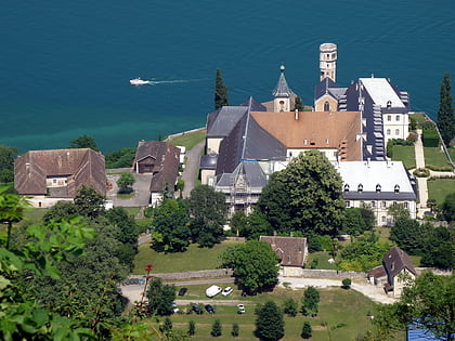
2.2 miEOld royal burial site with Gothic churchHautecombe Abbey, Saint-Pierre-de-Curtille
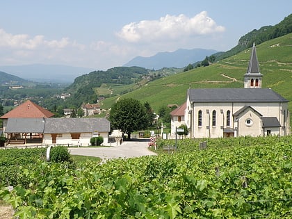
56 min walk • Hautecombe Abbey is a former Cistercian monastery, later a Benedictine monastery, in Saint-Pierre-de-Curtille near Aix-les-Bains in Savoy, France. For centuries it was the burial place of the members of the House of Savoy. It is visited by 150,000 tourists annually.
3.3 miENature, Natural attraction, LakeLac du Bourget
85 min walk • Nestled in the heart of the French Alps, Lac du Bourget is the deepest and largest natural lake entirely within France. This glacial lake, known for its pristine waters and stunning surroundings, covers an area of about 44 square kilometers.
5.3 miWChurchBelley Cathedral, Belley
136 min walk • Belley Cathedral is a Roman Catholic cathedral, dedicated to Saint John the Baptist, and a national monument of France, located in the town of Belley, Ain. It is the seat of Bishop of Belley–Ars.
5 miSNature, Natural attraction, MountainDent du Chat
127 min walk • Dent du Chat is a mountain of Savoie, France. It lies in the Jura range. It has an elevation of 1,390 metres above sea level.
4.1 miNWNature, Natural attraction, LakeLac de Barterand
106 min walk • Lac de Barterand is a lake in Pollieu, in the Ain department of France.
5.1 miSNature, Natural attraction, MountainMolard Noir
131 min walk • Molard Noir is a mountain of Savoie, France. It lies in the Jura range. It has an elevation of 1,452 metres above sea level.
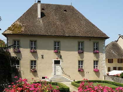
4.6 miNCity hallGrande Maison de Boigne, Chanaz
117 min walk • The fortified house of Chanaz called Grande Maison de Boigne is an old fortified house of the XIIIth century, reworked in the XVIIth century, which was the center of the seigniory of Chanaz, raised in marquisate, and which stands in the commune ...
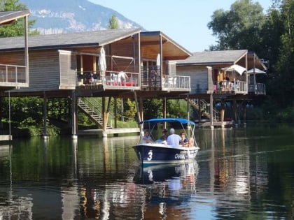
4.6 miN45°48'32"N • 5°47'33"EBateau bleu du canal, Chanaz
118 min walk • Boat tours, Outdoor activities, Tours
4 miSWForts and castlesFort-les-Bancs, Virignin
104 min walk • Fort-les-Bancs is a stronghold located in the department of Ain, on the territory of Virignin, at 492 m of altitude in height of the village.
4 miNCanalCanal de Savières, Chanaz
103 min walk • The Canal de Savières is a canal in eastern France. It joins the Lac du Bourget to the Rhône at Chanaz. It is 4.5 km long with one lock. It was a natural watercourse until canalised in the 19th century.
5.6 miW