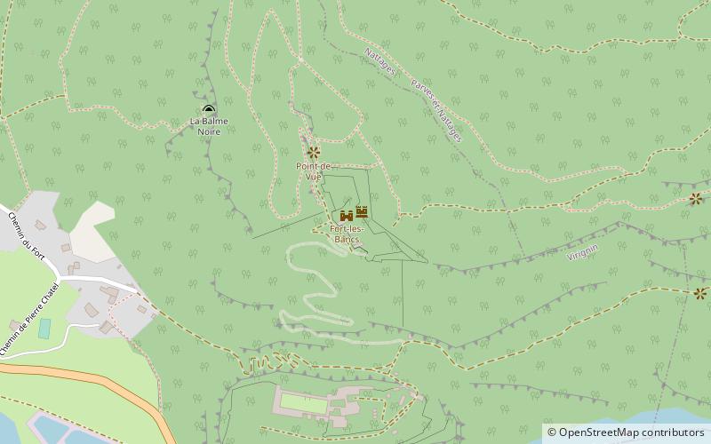
Fort-les-Bancs, Virignin
Map
![Fort-les-Bancs location map](https://tzmedia.b-cdn.net/media/images/static-maps/fr/45_7136_5_72396.jpg)
Map
![Fort-les-Bancs location map](https://tzmedia.b-cdn.net/media/images/static-maps/fr/45_7136_5_72396.jpg)
Facts and practical information
Fort-les-Bancs is a stronghold located in the department of Ain, on the territory of Virignin, at 492 m of altitude in height of the village.
Coordinates: 45°42'49"N, 5°43'26"E
Address
Virignin
ContactAdd
Social media
Add
Day trips
Fort-les-Bancs – popular in the area (distance from the attraction)
Nearby attractions include: Hautecombe Abbey, Belley Cathedral, Dent du Chat, Lac de Barterand.