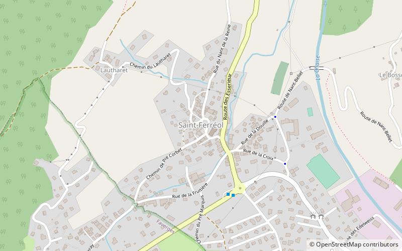
Saint-Ferréol
#10224 among destinations in France


Facts and practical information
Saint-Ferréol is a commune in the Haute-Savoie department in the Auvergne-Rhône-Alpes region in south-eastern France. ()
Auvergne-Rhône-AlpesFrance
Saint-Ferréol – popular in the area (distance from the attraction)
Nearby attractions include: La Tournette, Mont Charvin, Tamié Abbey, Trélod.
 Dramatic peak with mountain and lake views
La Tournette, Annecy
110 min walk • The Tournette is a mountain in the Bornes Massif in Haute-Savoie, France. It is the highest of the mountains surrounding Lake Annecy and has a prominence of 1,514, qualifying it as an Ultra.
 Nature, Natural attraction, Mountain
Mont Charvin
155 min walk • Mount Charvin is a mountain in the Aravis Range in Savoie, France.
 Monastery
Tamié Abbey
141 min walk • Tamié Abbey is a Cistercian monastery, located in the Bauges mountain range in the Savoie region of France. It was founded in 1132, as a daughter house of Bonnevaux Abbey, by Peter of Tarentaise, who was also the first abbot. It continues as a Trappist community of 30 monks, famous for its cheese, Abbaye de Tamié.
 Nature, Natural attraction, Mountain
Trélod
187 min walk • Trélod is a mountain of Savoie and Haute-Savoie in France. It lies in the Bauges range of the French Prealps and has an elevation of 2,181 metres above sea level.
 Nature, Natural attraction, Mountain
Dent de Cons
87 min walk • Dent de Cons is a mountain of Savoie and Haute-Savoie, France. It lies in the Bauges range of the French Prealps and has an elevation of 2,062 metres.
 Forts and castles
Château d'Héré, Duingt
167 min walk • The castle of Héré is an old fortified house, from the end of the XIVth century, which stands on the commune of Duingt in the department of Haute-Savoie in the region Auvergne-Rhône-Alpes.
 Nature, Natural attraction, Mountain
Montagne du Charbon
172 min walk • Montagne du Charbon is a mountain in the Bauges in Savoie, France.
 Nature, Natural attraction, Mountain
Négresse
120 min walk • Négresse is a mountain of Savoie, France. It lies in the Bauges range. It has an elevation of 1,720 metres above sea level.
 Outdoor activities
Roc de Chère National Nature Reserve, Talloires
185 min walk • The Roc de Chère National Nature Reserve is a major ecologic site in southeastern France. A protected nature reserve since 1977, it covers a small area of 69 hectares. It is located near the commune of Talloires, on the eastern bank of Lake Annecy at an elevation of 448 metres.
 Forts and castles
Château de Faverges, Faverges
38 min walk • The castle of Faverges is an old fortified castle, of the XIIIth century, reworked in the XVth century, located at the border of the county of Savoy and the county of Geneva, which stands on the commune of Faverges-Seythenex in the department ...
 Forts and castles
Château de Gye, Giez
78 min walk • The castle of Giez, also known as Gy or Gye, is an old fortified house of the thirteenth century, remodeled in the sixteenth century and restored in the nineteenth century, which stands on the town of Giez a French commune, in the department ...
