Roc de Chère National Nature Reserve, Talloires
Map

Map

Facts and practical information
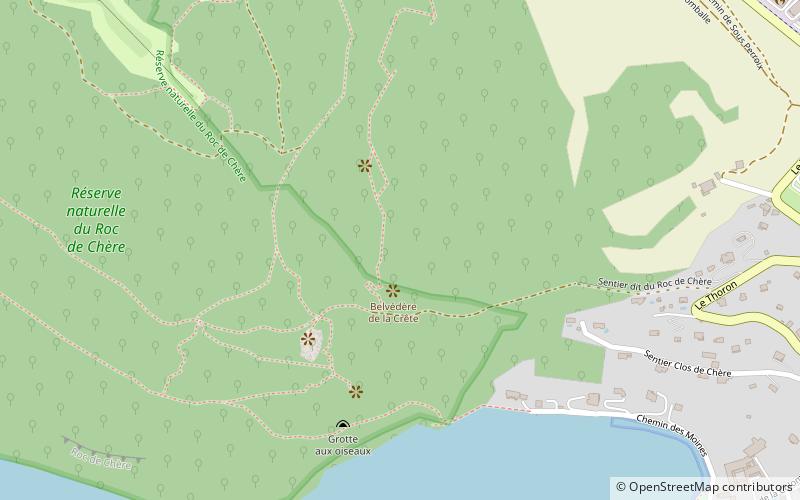
The Roc de Chère National Nature Reserve is a major ecologic site in southeastern France. A protected nature reserve since 1977, it covers a small area of 69 hectares. It is located near the commune of Talloires, on the eastern bank of Lake Annecy at an elevation of 448 metres. The Roc de Chère is a small mountain, culminating at a modest 651 metres, which was formed by a quaternary glacier from the south. ()
Address
Talloires
ContactAdd
Social media
Add
Day trips
Roc de Chère National Nature Reserve – popular in the area (distance from the attraction)
Nearby attractions include: Château d'Annecy, Lake Annecy, Château de Menthon-Saint-Bernard, La Tournette.


