Canal du Loing

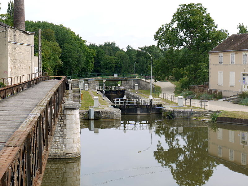
Gallery (2)
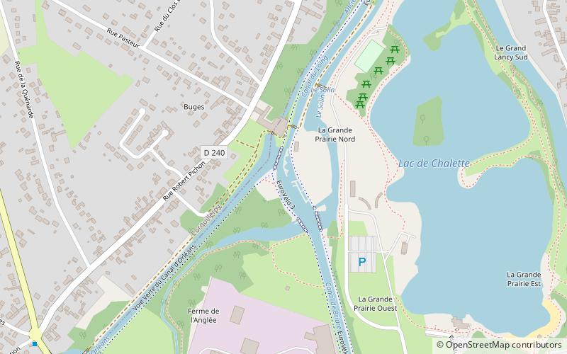
Map
Map
Gallery
Facts and practical information
The Canal du Loing is a 49.4 km long canal which connects the Seine at Saint-Mammès to the Briare Canal just north of Montargis, in central France. It runs through the Loiret and Seine-et-Marne départements. ()
Location
Centre-Loire Valley
ContactAdd
Social media
Add
Day trips


