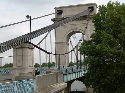
Choisy-le-Roi, Paris
Map
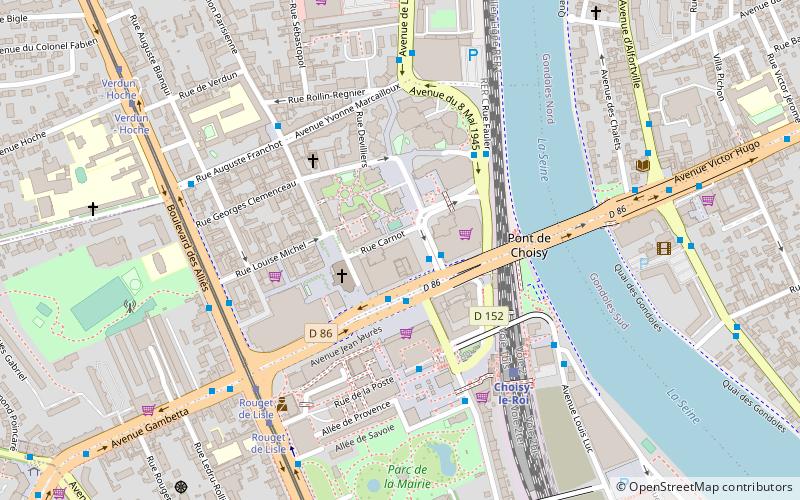
Map

Facts and practical information
Choisy-le-Roi is a commune in the Val-de-Marne department, in the southeastern suburbs of Paris, Île-de-France. ()
Address
Choisy-le-RoiParis
ContactAdd
Social media
Add
Day trips
Choisy-le-Roi – popular in the area (distance from the attraction)
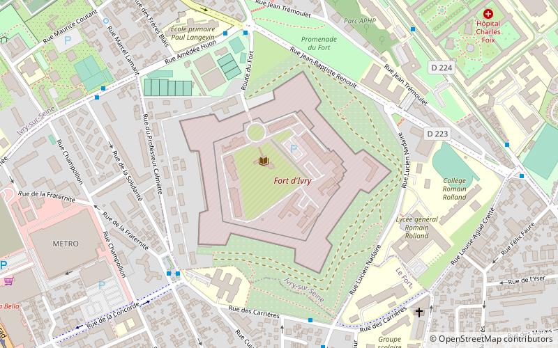
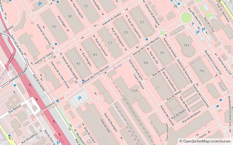
Nearby attractions include: Lac de Créteil, Fort d'Ivry, Créteil Cathedral, Rungis International Market.
Frequently Asked Questions (FAQ)
How to get to Choisy-le-Roi by public transport?
The nearest stations to Choisy-le-Roi:
Bus
Train
Tram
Bus
- Choisy-le-Roi RER • Lines: 103, 182, 282, 393, Choisybus, N71, Tvm (3 min walk)
- Choisy-le-Roi Gare RER • Lines: 282, 483 (3 min walk)
Train
- Choisy-le-Roi (5 min walk)
- Les Ardoines (30 min walk)
Tram
- Rouget de Lisle • Lines: T9 (6 min walk)
- Verdun - Hoche • Lines: T9 (8 min walk)

 Metro
Metro
