Trek Zone

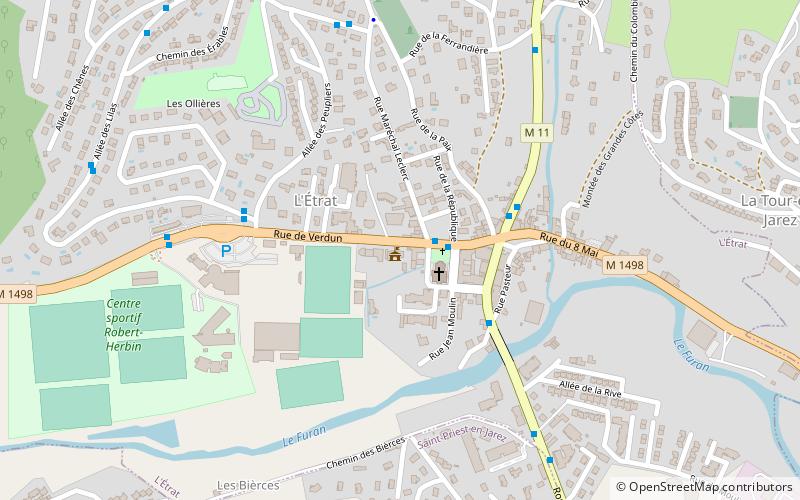
L'Étrat, Saint-Étienne

#13 among attractions in Saint-Étienne

Area
L'Étrat

Facts and practical information

Alternative names: Area: 3.27 mi²Coordinates: 45°29'8"N, 4°22'38"E
Address

Saint-Étienne France

ContactAdd
Social media
Add
Day trips

L'Étrat – popular in the area (distance from the attraction)

Nearby attractions include: Saint-Étienne Mine Museum, Stade Geoffroy-Guichard, Saint-Étienne Cathedral, Musée d'art moderne.

  • saint etienne mine museum3.3 miS
  • stade geoffroy guichard saint etienne1.8 miS
  • saint etienne cathedral3.1 miS
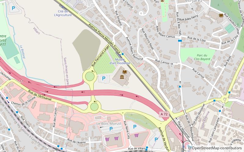
  • musee dart moderne saint etienne location map
    1.1 miS
  • musee dart et dindustrie saint etienne3.8 miS
  • saint priest en jarez saint etienne0.9 miS
  • villars saint etienne1.7 miSW
  • saint genest lerpt saint etienne3.5 miSW
  • saint jean bonnefonds saint etienne4 miSE
  • musee du vieux saint etienne saint etienne3.5 miS
  • eglise saint laurent saint etienne3.4 miS

Frequently Asked Questions (FAQ)

How to get to L'Étrat by public transport?

The nearest stations to L'Étrat:

Bus
  • L'Etrat • Lines: 17, 27 (3 min walk)
  • Les Ollières • Lines: 17 (5 min walk)

Tram
  • Hôpital Nord • Lines: T1 (19 min walk)
  • Parc - Champirol • Lines: T1 (22 min walk)

Where to next? Visit auvergne rhone alpes Auvergne-Rhône-Alpes region page or discover the top tourist attractions in France.