Marnes-la-Coquette, Paris
Map

Map

Facts and practical information
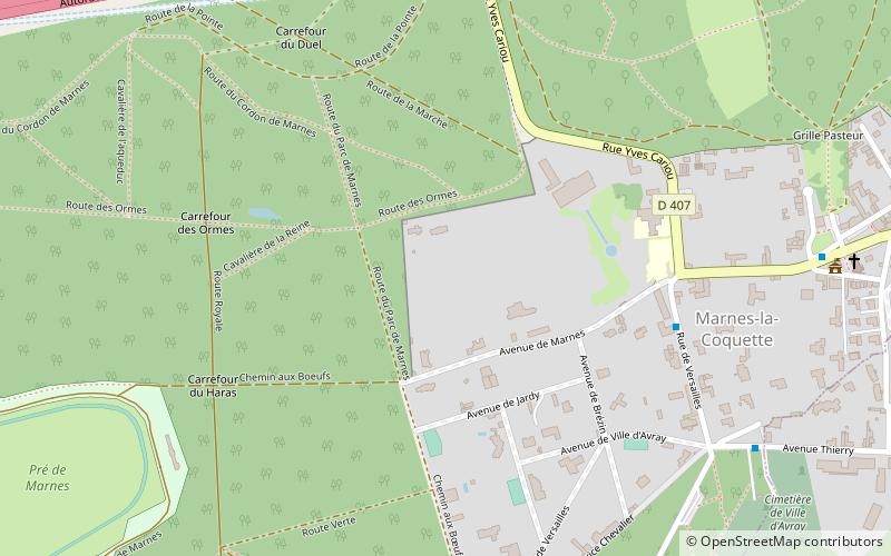
Marnes-la-Coquette is a commune in the western suburbs of Paris, France. Located 13.1 km from the center of Paris, the town is situated between the Parc de Saint-Cloud and the Forest of Fausses-Reposes. This heavily wooded town developed around the area of Villeneuve-l'Étang that belonged to Napoleon III. ()
Address
Clagny - Glatigny (Glatigny)Paris
ContactAdd
Social media
Add
Day trips
Marnes-la-Coquette – popular in the area (distance from the attraction)
Nearby attractions include: Garches, Ville-d'Avray, Vaucresson, Pavillon du Butard.
Frequently Asked Questions (FAQ)
Which popular attractions are close to Marnes-la-Coquette?
Nearby attractions include Vaucresson, Paris (22 min walk), Ville-d'Avray, Paris (23 min walk).
How to get to Marnes-la-Coquette by public transport?
The nearest stations to Marnes-la-Coquette:
Bus
Train
Bus
- Rue de Versailles • Lines: 426, 526 (6 min walk)
- Cimetière de Ville-d'Avray • Lines: 426, 526 (8 min walk)
Train
- Vaucresson (24 min walk)
- Garches - Marnes-la-Coquette (25 min walk)

 Metro
Metro


