Ville-d'Avray, Paris
Map
Map

Facts and practical information
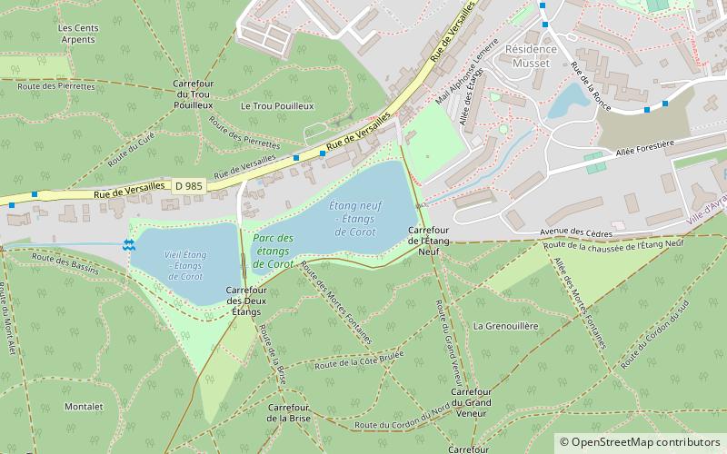
Ville-d'Avray is a commune in the western suburbs of Paris, France. It is located 11.9 km from the center of Paris. The commune is served by the Boulogne-Billancourt prefecture, of the Hauts-de-Seine department. ()
Address
Ville-d'AvrayParis
ContactAdd
Social media
Add
Day trips
Ville-d'Avray – popular in the area (distance from the attraction)
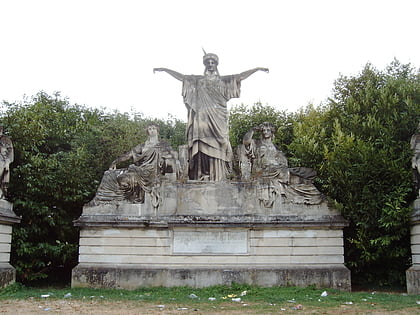
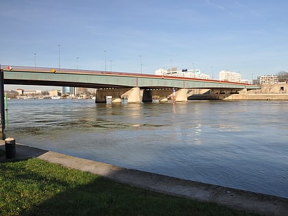
Nearby attractions include: Sèvres – Cité de la céramique, France Crowning Art and Industry, Pont de Sèvres, Parc de Saint-Cloud.
Frequently Asked Questions (FAQ)
Which popular attractions are close to Ville-d'Avray?
Nearby attractions include Chaville, Paris (22 min walk), Marnes-la-Coquette, Paris (23 min walk).
How to get to Ville-d'Avray by public transport?
The nearest stations to Ville-d'Avray:
Bus
Train
Tram
Bus
- Les Étangs • Lines: 469, 471 (3 min walk)
- Musset • Lines: 469 (8 min walk)
Train
- Chaville Rive Droite (16 min walk)
- Sèvres Ville-d'Avray (24 min walk)
Tram
- Viroflay-Rive Droite • Lines: T6 (32 min walk)

 Metro
Metro