Monplaisir, Lyon
Map
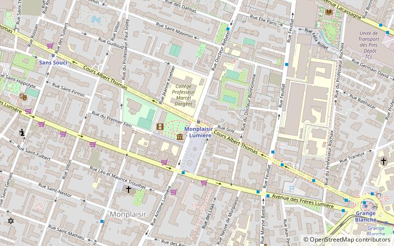
Map

Facts and practical information
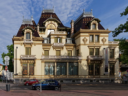
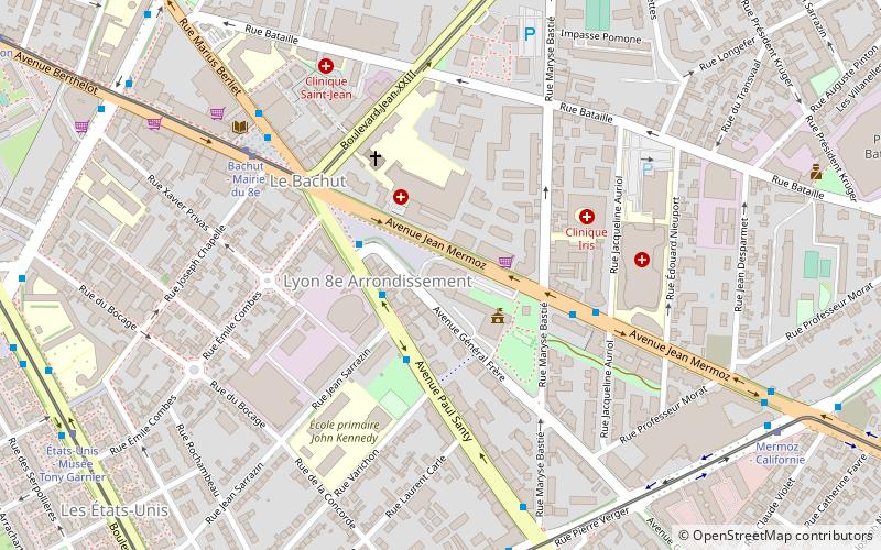
Monplaisir is a historical district of Lyon, France, now situated in the 8th arrondissement of Lyon. It is centered on the Ambroise Courtois Square, formerly the Monplaisir Square. ()
Address
103 avenue des Freres LumiereArrondissement 8E (Montplaisir - Bachut)Lyon 69008
Contact
+33 4 78 77 93 51
Social media
Add
Day trips
Monplaisir – popular in the area (distance from the attraction)
Nearby attractions include: Lyon Part-Dieu, Institut Lumière, Bourse du Travail, Tour Oxygène.
Frequently Asked Questions (FAQ)
When is Monplaisir open?
Monplaisir is open:
- Monday closed
- Tuesday 10 am - 1 pm & 2 pm - 7 pm
- Wednesday 10 am - 1 pm & 2 pm - 7 pm
- Thursday 10 am - 1 pm & 2 pm - 7 pm
- Friday 10 am - 1 pm & 2 pm - 7 pm
- Saturday 10 am - 1 pm & 2 pm - 7 pm
- Sunday closed
Which popular attractions are close to Monplaisir?
Nearby attractions include Place Ambroise-Courtois, Lyon (1 min walk), Institut Lumière, Lyon (2 min walk), Musée Testut-Latarjet, Lyon (14 min walk), Fort Montluc, Lyon (15 min walk).
How to get to Monplaisir by public transport?
The nearest stations to Monplaisir:
Metro
Bus
Trolleybus
Tram
Train
Metro
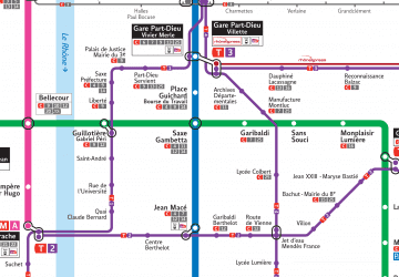
- Monplaisir - Lumière • Lines: D (1 min walk)
- Sans Souci • Lines: D (9 min walk)
Bus
- Place Ambroise Courtois • Lines: C16 (3 min walk)
- Feuillat - Albert Thomas • Lines: C16 (6 min walk)
Trolleybus
- Feuillat - Lacassagne • Lines: C13 (10 min walk)
- Domrémy - Lacassagne • Lines: C13 (11 min walk)
Tram
- Jean XXIII - Maryse Bastié • Lines: T2 (11 min walk)
- Grange Blanche • Lines: T2, T5 (12 min walk)
Train
- Lyon Part-Dieu (30 min walk)

 Metro
Metro
