Vaise, Lyon
Map
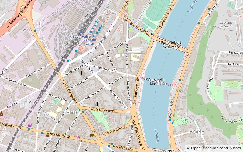
Map

Facts and practical information
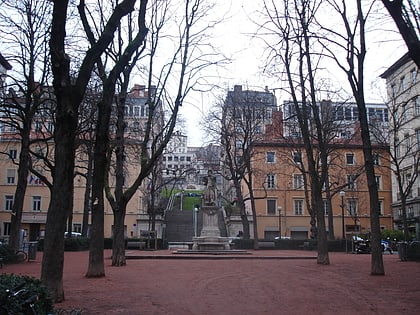
Vaise is a neighborhood of the City of Lyon, located along the Saône at the foot of the plateau Duchère, north-west of the city. Former commune of the Rhône department, Vaise was linked to Lyon on 24 March 1852, to form part of the 5th arrondissement. Vaise was then attached to the 9th arrondissement at its creation on 12 August 1964. ()
Address
Arrondissement 9E (Salengro - Marietton)Lyon
ContactAdd
Social media
Add
Day trips
Vaise – popular in the area (distance from the attraction)
Nearby attractions include: Esplanade de Fourvière, Parc des Hauteurs, Église Notre Dame Saint-Vincent, Church of Saint-Bruno des Chartreux.
Frequently Asked Questions (FAQ)
Which popular attractions are close to Vaise?
Nearby attractions include 9th arrondissement of Lyon, Lyon (4 min walk), Parc de la Cerisaie, Lyon (15 min walk), Fort Saint-Jean, Lyon (18 min walk), Fort Duchère, Lyon (19 min walk).
How to get to Vaise by public transport?
The nearest stations to Vaise:
Metro
Bus
Trolleybus
Train
Ferry
Metro
- Gare de Vaise • Lines: D (5 min walk)
- Valmy • Lines: D (8 min walk)
Bus
- Gare de Vaise • Lines: 10, 10E, 115, 118, 2, 20, 20/22, 21, 22, 23, 31, 43, 61, 71, 84, 89, 89D, C6, C6E, S11 (5 min walk)
- Place de Paris • Lines: 2, 31, C6 (5 min walk)
Trolleybus
- Tissot • Lines: C14 (5 min walk)
- Place de Paris • Lines: C14 (5 min walk)
Train
- Lyon-Vaise (6 min walk)
- Lyon-Gorge-de-Loup (23 min walk)
Ferry
- Vaise • Lines: Vaporetto (10 min walk)
- Saint-Paul - Hôtel de Ville • Lines: Vaporetto (34 min walk)

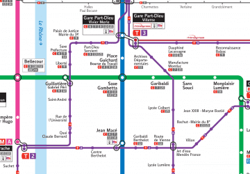 Metro
Metro