Temple, Paris
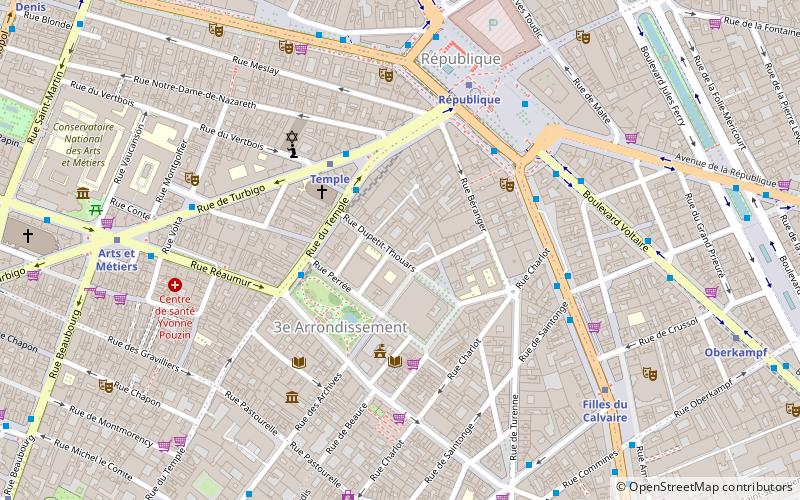
Map
Facts and practical information
The Square du Temple is a garden in Paris, France in the 3rd arrondissement, established in 1857. It is one of 24 city squares planned and created by Georges-Eugène Haussmann and Jean-Charles Adolphe Alphand. The Square occupies the site of a medieval fortress in Paris, built by the Knights Templar. Parts of the fortress were later used as a prison during the French Revolution, and then demolished by the mid-19th century. ()
Day trips
Temple – popular in the area (distance from the attraction)
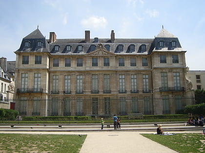
Nearby attractions include: Le Marais, Musée des Arts et Métiers, Musée d'Art et d'Histoire du Judaïsme, Musée Picasso.
Frequently Asked Questions (FAQ)
Which popular attractions are close to Temple?
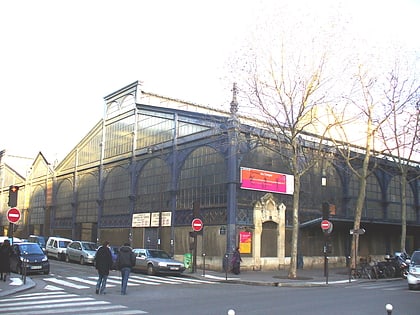
Nearby attractions include Carreau du Temple, Paris (2 min walk), 3rd arrondissement of Paris, Paris (3 min walk), Théâtre Déjazet, Paris (4 min walk), Synagogue Nazareth, Paris (4 min walk).
How to get to Temple by public transport?
The nearest stations to Temple:
Bus
Metro
Train
Ferry
Bus
- Turbigo - République • Lines: 20, 75, N12, N23 (3 min walk)
- Square du Temple — Mairie du 3e - Carreau du Temple • Lines: 20, N12, N23 (3 min walk)
Metro
- Temple • Lines: 3 (3 min walk)
- République • Lines: 11, 3, 5, 8, 9 (5 min walk)
Train
- Châtelet - Les Halles (19 min walk)
- East Station (21 min walk)
Ferry
- Hôtel-de-Ville • Lines: Batobus (22 min walk)
- Notre-Dame • Lines: Batobus (28 min walk)
 Metro
Metro


