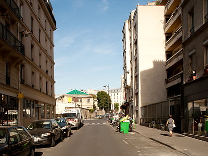
Théâtre Déjazet, Paris
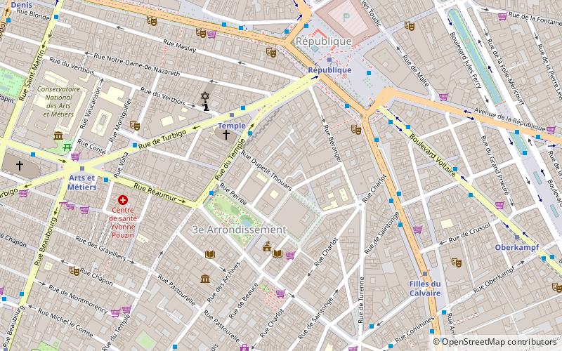
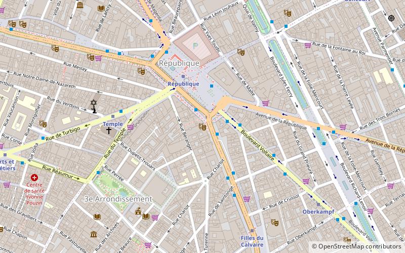
Map
Map

Facts and practical information
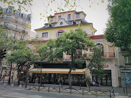
The Théâtre Déjazet is a theatre on the boulevard du Temple in the 3rd arrondissement of Paris, France. It was founded in 1770 by Comte d'Artois who later was crowned Charles X. It was then closed down and not reopened until 1851. At that time it became a café-concert called the Folies-Mayer, on the site of a former jeu de paume. It was converted into the Folies-Concertantes in 1853, and reopened as the Folies-Nouvelles on 21 October 1854. ()
Address
Temple (Enfants-Rouges)Paris
ContactAdd
Social media
Add
Day trips
Théâtre Déjazet – popular in the area (distance from the attraction)
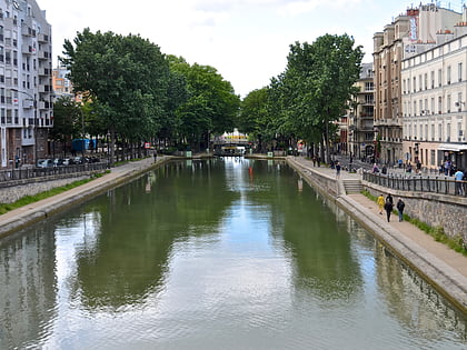
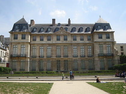
Nearby attractions include: Le Marais, Musée des Arts et Métiers, Canal Saint-Martin, Musée Picasso.
Frequently Asked Questions (FAQ)
Which popular attractions are close to Théâtre Déjazet?
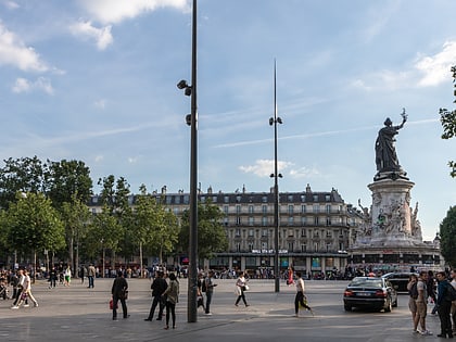
Nearby attractions include Théâtre Historique, Paris (2 min walk), Temple, Paris (4 min walk), Place de la République, Paris (4 min walk), Carreau du Temple, Paris (4 min walk).
How to get to Théâtre Déjazet by public transport?
The nearest stations to Théâtre Déjazet:
Bus
Metro
Train
Ferry
Bus
- République • Lines: 20, 56, 75, 91, N01, N02, N12, N141, N142, N23 (4 min walk)
- République - Voltaire • Lines: 56 (2 min walk)
Metro
- République • Lines: 11, 3, 5, 8, 9 (3 min walk)
- Temple • Lines: 3 (5 min walk)
Train
- East Station (21 min walk)
- Châtelet - Les Halles (22 min walk)
Ferry
- Hôtel-de-Ville • Lines: Batobus (25 min walk)
- Notre-Dame • Lines: Batobus (31 min walk)
 Metro
Metro

