Le Fourneau, Brest
Map

Map

Facts and practical information
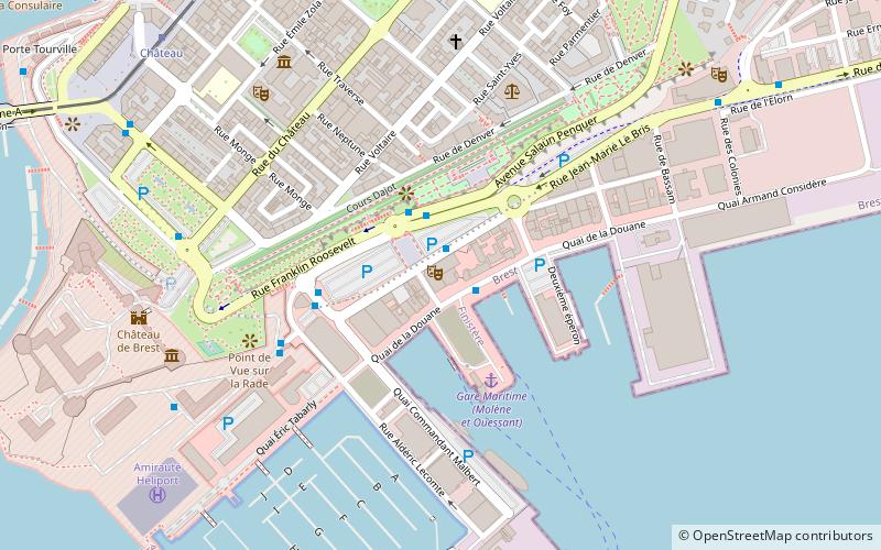
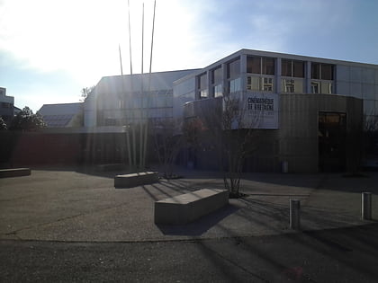
Le Fourneau is a national center for street arts and public space, part of a professional national network of venues, companies and festivals. It is an establishment for artistic creation and production in the public space based in the commercial port of Brest, France.
Coordinates: 48°22'56"N, 4°29'14"W
Address
11 quai de la DouaneBrest Centre (Port - Gare - Liberté - Foch)Brest
Contact
Social media
Add
Day trips
Le Fourneau – popular in the area (distance from the attraction)
Nearby attractions include: Château de Brest, Tour Tanguy, Cinémathèque de Bretagne, Rue de Siam.
Frequently Asked Questions (FAQ)
Which popular attractions are close to Le Fourneau?
Nearby attractions include Cours D'ajot, Brest (3 min walk), Penn Ar Bed, Brest (3 min walk), Port de plaisance du Château, Brest (7 min walk), Musée de la Marine, Brest (7 min walk).
How to get to Le Fourneau by public transport?
The nearest stations to Le Fourneau:
Bus
Tram
Aerialway
Train
Bus
- Les Îles • Lines: 23, 30, 4 (1 min walk)
- Rampes • Lines: 1, 2, 31, 4 (2 min walk)
Tram
- Château • Lines: A (9 min walk)
- Siam • Lines: A (11 min walk)
Aerialway
- Jean Moulin • Lines: C (10 min walk)
- Ateliers • Lines: C (17 min walk)
Train
- Brest (13 min walk)


