Rue Saint-Malo, Brest
Map

Gallery

Facts and practical information
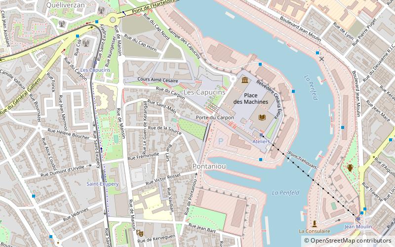
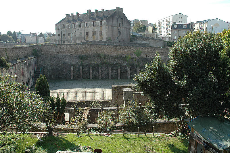
Rue Saint-Malo is a paved street in Brest, France. It is located in the Carpon valley, against the plateau des Capucins in the Recouvrance quarter. Only its lower half survives, as the oldest street in the city. ()
Address
Rue Saint-MaloRive Droite (Recouvrance - Pontaniou)Brest
ContactAdd
Social media
Add
Day trips
Rue Saint-Malo – popular in the area (distance from the attraction)
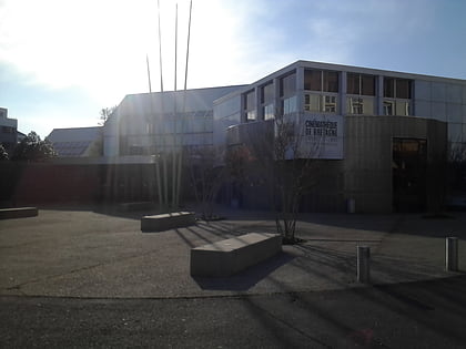
Nearby attractions include: Château de Brest, Tour Tanguy, Cinémathèque de Bretagne, Brest Arena.
Frequently Asked Questions (FAQ)
Which popular attractions are close to Rue Saint-Malo?
Nearby attractions include Pont de l'Harteloire, Brest (7 min walk), Tour Tanguy, Brest (11 min walk), Church, Brest (12 min walk), Rue de Siam, Brest (13 min walk).
How to get to Rue Saint-Malo by public transport?
The nearest stations to Rue Saint-Malo:
Aerialway
Bus
Tram
Train
Aerialway
- Ateliers • Lines: C (4 min walk)
- Jean Moulin • Lines: C (10 min walk)
Bus
- Bassin 3 • Lines: 21, 22, 23 (4 min walk)
- Centrale Réseaux • Lines: 21, 22, 23 (5 min walk)
Tram
- Saint-Exupery • Lines: A (6 min walk)
- Les Capucins • Lines: A (7 min walk)
Train
- Brest (24 min walk)


