Lac de Saint-Point
Map

Map

Facts and practical information
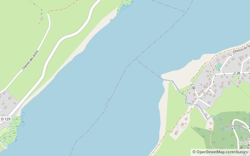
Lac de Saint-Point is a lake formed by the river Doubs near Pontarlier in the Doubs department of France. With a surface area of 5.2 km², it is one of the largest natural lakes of France. ()
Alternative names: Area: 2.01 mi²Length: 4.47 miWidth: 2625 ftMaximum depth: 141 ftElevation: 2782 ft a.s.l.Coordinates: 46°48'56"N, 6°18'47"E
Location
Bourgogne-Franche-Comté
ContactAdd
Social media
Add
Day trips
Lac de Saint-Point – popular in the area (distance from the attraction)
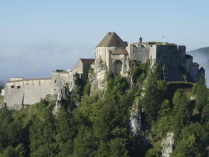
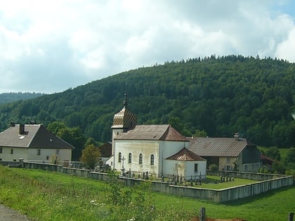
Nearby attractions include: Fort de Joux, Remoray-Boujeons, Lac de Remoray, St. Catherine's Church.


