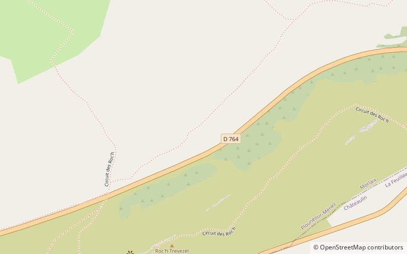
Roc'h Trevezel
Map

Map

Facts and practical information
Roc'h Trevezel is the second peak of the Breton part of the Armorican Massif in the Monts d'Arrée. Just like the Signal of Toussaines, it reaches 384 metres in altitude. It is located in the commune of Plounéour-Ménez, near Roc'h Ruz, the highest point of the Monts d'Arrée in Brittany. ()
Location
Brittany
ContactAdd
Social media
Add
Day trips
Roc'h Trevezel – popular in the area (distance from the attraction)
Nearby attractions include: Guimiliau Parish close, Commana Parish close, La Noce de Pierres, Brennilis Parish close.


