Trek Zone

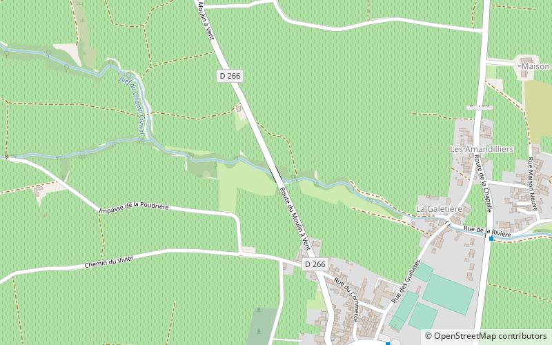
Route du Moulin à Vent, Romanèche-Thorins

#3 among attractions in Romanèche-Thorins

Bridge
Route du Moulin à Vent

Facts and practical information

Route du Moulin à Vent (address: 1673, route du Moulin-à-Vent) is a place located in Romanèche-Thorins (Bourgogne-Franche-Comté region) and belongs to the category of bridge.

It is situated at an altitude of 640 feet, and its geographical coordinates are 46°11'37"N latitude and 4°43'59"E longitude.

Among other places and attractions worth visiting in the area are: Moulin à Vent (winery, 18 min walk), Touroparc (amusement, 32 min walk), Chénas (locality, 37 min walk).

Coordinates: 46°11'37"N, 4°43'59"E
Address

1673, route du Moulin-à-VentRomanèche-Thorins France

ContactAdd
Social media
Add

Romanèche-Thorins plan & book

Unleash the traveler in you — discover the cheapest flight deals, find the perfect hotel or hostel nearby, and search for the best car rental prices. Travel at your own pace to discover new places and enjoy your journey.

Day trips

Route du Moulin à Vent – popular in the area (distance from the attraction)

Nearby attractions include: Touroparc, Pruzilly, Chaintré, Château de Chaintré.

  • touroparc romaneche thorins1.2 miSE
  • pruzilly4.7 miN
  • chaintre vinzelles4.8 miN
  • chateau de chaintre4.9 miNE
  • chateau de leynes5.3 miN
  • chateau de corcelles en beaujolais2.3 miS
  • jardins aquatiques saint didier sur chalaronne5.2 miE
  • moulin a vent romaneche thorins0.7 miNW
  • fleurie1.7 miW
  • chateau destours creches sur saone4.2 miNE
  • beaujolais5 miSW

Where to next? Visit bourgogne franche comte Bourgogne-Franche-Comté region page or discover the top tourist attractions in France.