Le Toët, Lanslebourg-Mont-Cenis

Gallery (1)
Map
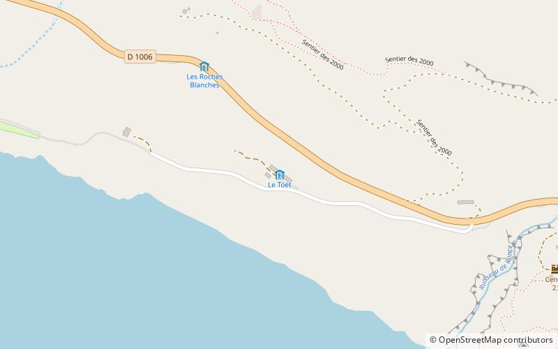
Map
Facts and practical information
Le Toët (address: Col du Mont Cenis) is a place located in Lanslebourg-Mont-Cenis (Auvergne-Rhône-Alpes region) and belongs to the category of hiking, alpine hut.
It is situated at an altitude of 6677 feet, and its geographical coordinates are 45°14'38"N latitude and 6°56'25"E longitude.
Among other places and attractions worth visiting in the area are: Fort de Variselle (forts and castles, 36 min walk), Mont Cenis (nature, 57 min walk), Jardin botanique de Mont Cenis (botanical garden, 57 min walk).
Coordinates: 45°14'38"N, 6°56'25"E
Day trips


