Haras de la Huderie
Map
Facts and practical information
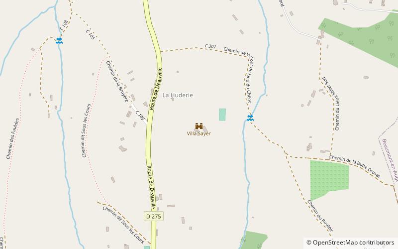
Haras de la Huderie is a Bauhaus residence, situated in Glanville, Calvados at 9 kilometres from Deauville, France. ()
Location
Normandy
ContactAdd
Social media
Add
Day trips
Haras de la Huderie is a Bauhaus residence, situated in Glanville, Calvados at 9 kilometres from Deauville, France. ()
Normandy
Where to next? Visit ![]() Normandy region page or discover the top tourist attractions in France.
Normandy region page or discover the top tourist attractions in France.


