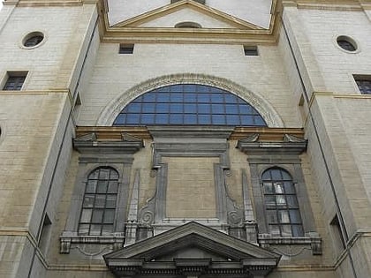
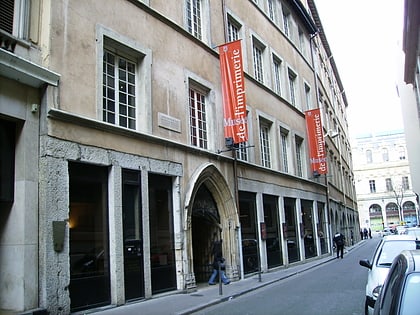
1st arrondissement of Lyon, Lyon
Map
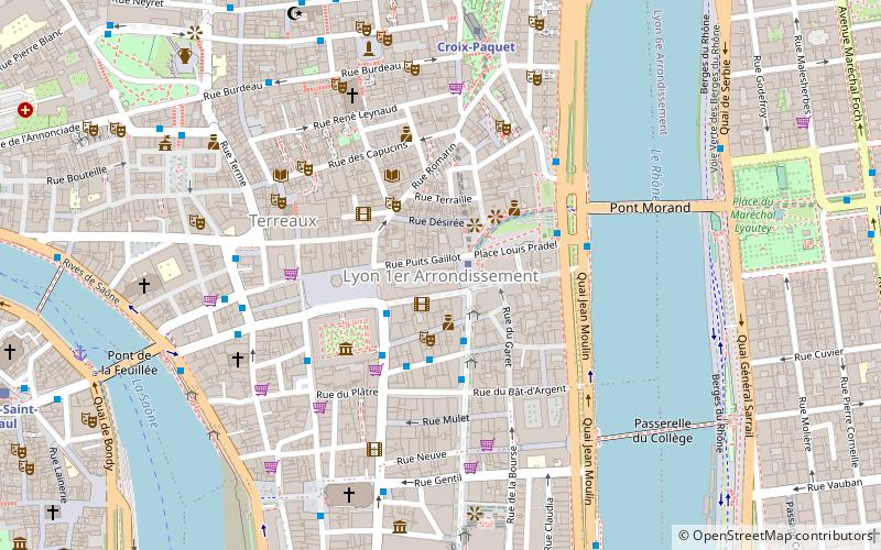
Map

Facts and practical information
The 1st arrondissement of Lyon, France is one of the nine arrondissements of the City of Lyon. It is located below the hill of Croix-Rousse and on the north part of the Presqu'île formed by the Saône and the Rhône, the two rivers in Lyon. ()
Address
Arrondissement 1ER (Terreaux - Bat D'argent)Lyon
ContactAdd
Social media
Add
Day trips
1st arrondissement of Lyon – popular in the area (distance from the attraction)
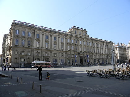
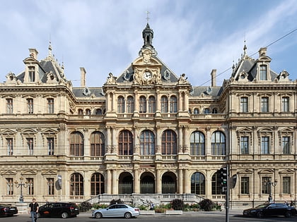
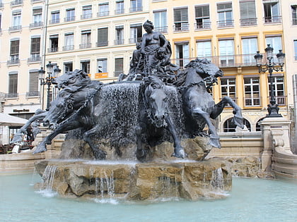
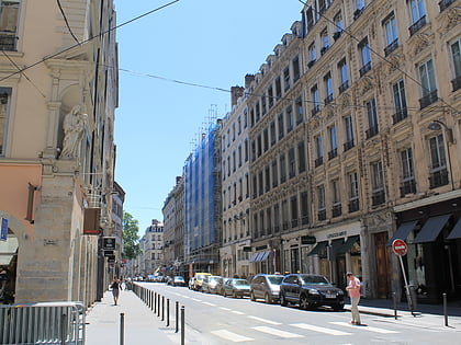
Nearby attractions include: Musée des Beaux-Arts de Lyon, Palais de la Bourse, Fontaine Bartholdi, Rue Édouard-Herriot.
Frequently Asked Questions (FAQ)
Which popular attractions are close to 1st arrondissement of Lyon?
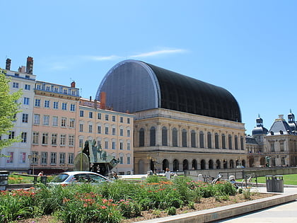
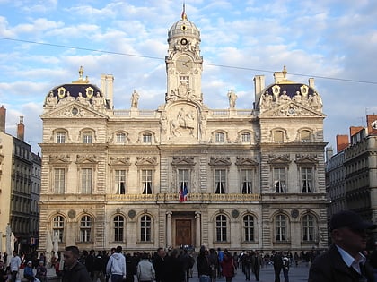
Nearby attractions include City Hall, Lyon (1 min walk), Opéra de Lyon, Lyon (2 min walk), Rue de l'Arbre-Sec, Lyon (3 min walk), Fontaine Bartholdi, Lyon (3 min walk).
How to get to 1st arrondissement of Lyon by public transport?
The nearest stations to 1st arrondissement of Lyon:
Metro
Bus
Trolleybus
Ferry
Train
Tram
Metro
- Hôtel de Ville - Louis Pradel • Lines: A, C (1 min walk)
- Croix-Paquet • Lines: C (6 min walk)
Bus
- Hôtel de Ville - Louis Pradel • Lines: 132, 171, 19, 9, C5, S1, S12 (4 min walk)
- Musée des Beaux-Arts • Lines: 19 (3 min walk)
Trolleybus
- Hôtel de Ville - Louis Pradel • Lines: C13, C14, C3, S6 (2 min walk)
- Musée des Beaux-Arts • Lines: C18 (3 min walk)
Ferry
- Saint-Paul - Hôtel de Ville • Lines: Vaporetto (9 min walk)
- Bellecour • Lines: Vaporetto (16 min walk)
Train
- Lyon-Saint-Paul (12 min walk)
- Fourvière (20 min walk)
Tram
- Liberté • Lines: T1 (18 min walk)
- Saxe-Préfecture • Lines: T1 (18 min walk)

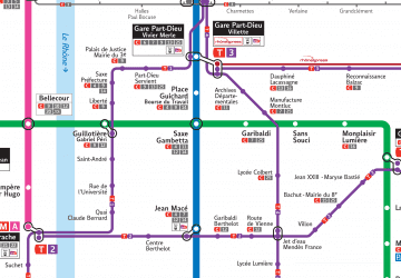 Metro
Metro