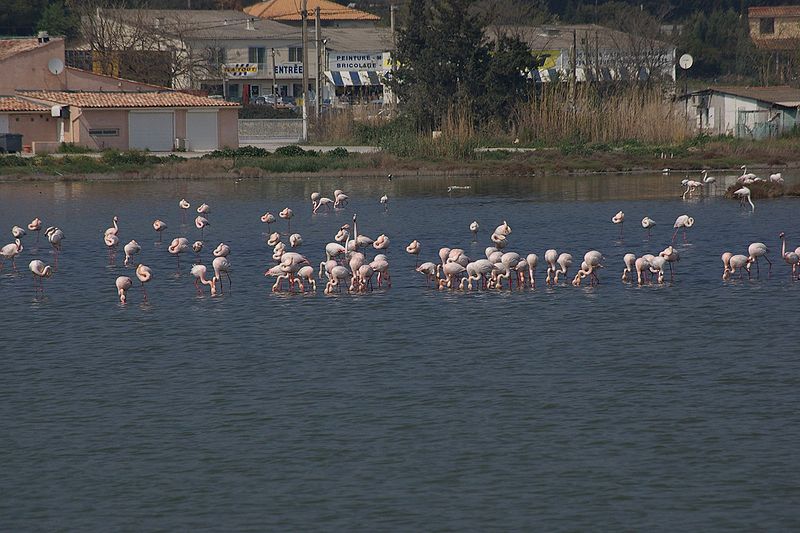
Étang de Thau
Map
Gallery
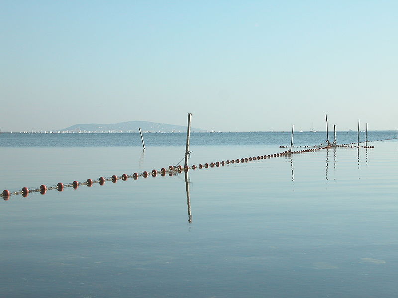
Facts and practical information
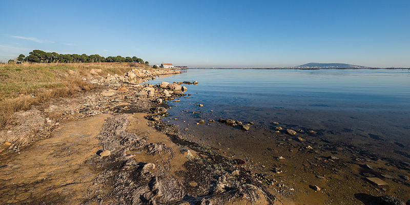
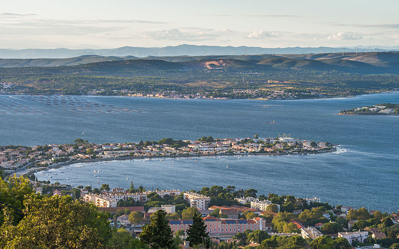
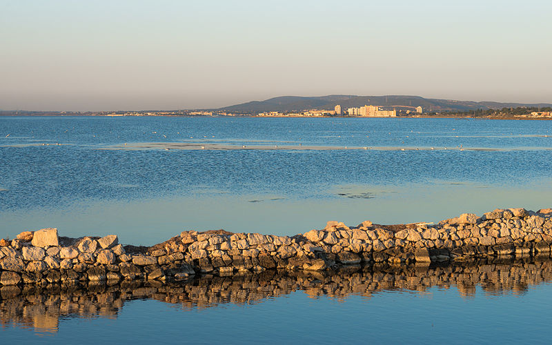
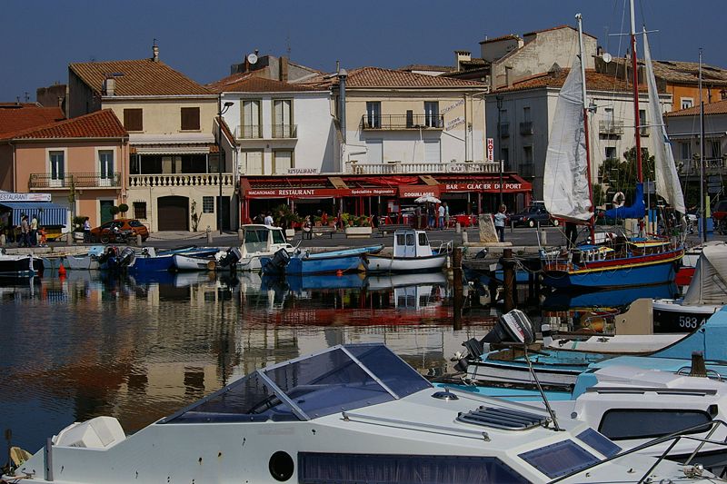
The Étang de Thau or Bassin de Thau is the largest of a string of lagoons that stretch along the French coast from the Rhône river to the foothills of the Pyrenees and the border to Spain in the Languedoc-Roussillon. Although it has a high salinity, it is considered the second largest lake in France. ()
Alternative names: Area: 28.96 mi²Length: 13.05 miWidth: 4.97 miMaximum depth: 98 ftElevation: -7 ft b.s.l.Coordinates: 43°23'52"N, 3°36'44"E
Location
Occitanie
ContactAdd
Social media
Add
Day trips
Étang de Thau – popular in the area (distance from the attraction)
Nearby attractions include: Noilly Prat, Loupian Roman villa, Les Onglous lighthouse, Musée international des Arts modestes.


