Pyrenees
Map
Gallery
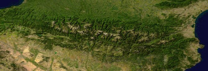
Facts and practical information
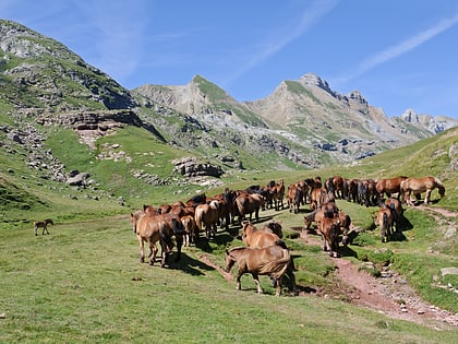
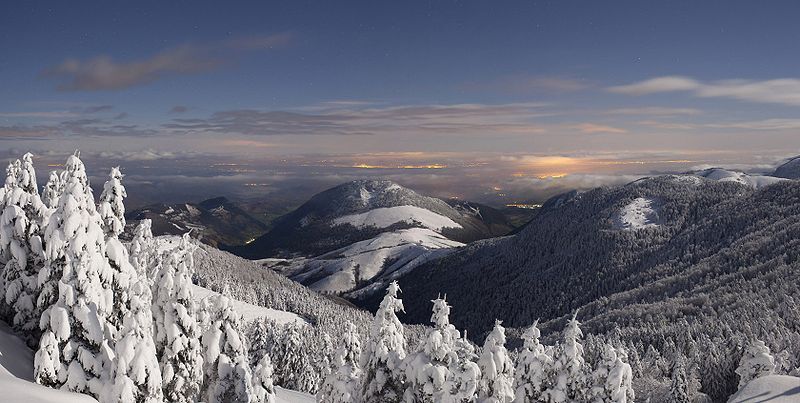
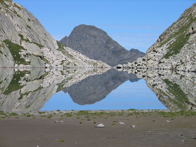
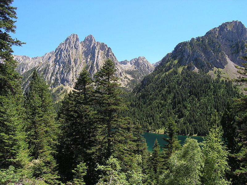
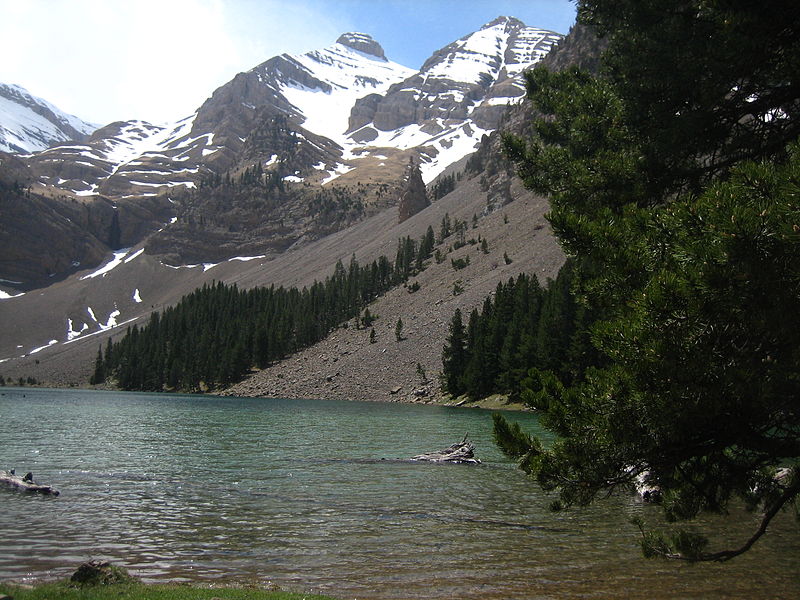
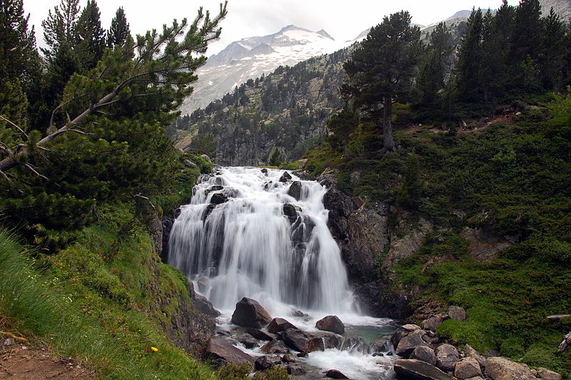
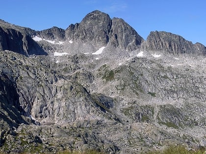
The Pyrenees is a mountain range straddling the border of France and Spain. It extends nearly 500 km from its union with the Cantabrian Mountains to Cap de Creus on the Mediterranean coast. It reaches a maximum altitude of 3,404 metres at the peak of Aneto. ()
Day trips
Pyrenees – popular in the area (distance from the attraction)
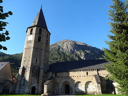
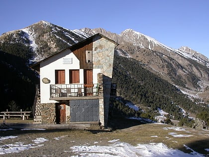
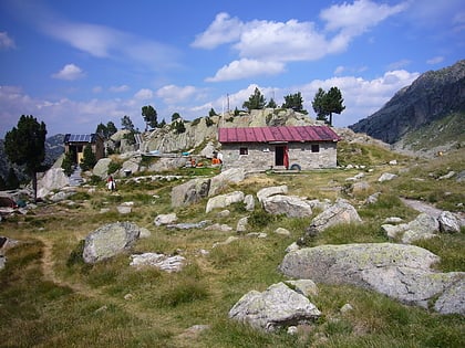
Nearby attractions include: Baqueira-Beret, Gran Tuc de Colomers, Tuc de Ratera, la Creu de Colomers.
