Pont Général de la Motte Rouge, Nantes
Map

Map

Facts and practical information
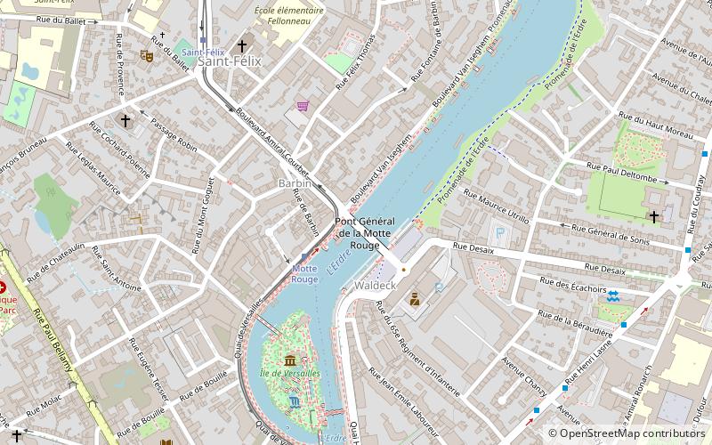
The Général-de-la-Motte-Rouge bridge is a structure located in Nantes, which crosses the Erdre river in the north-east of the city center, 900m downstream from the Tortière bridge. It connects the Waldeck-Rousseau place to the Amiral-Courbet boulevard.
Coordinates: 47°13'42"N, 1°33'10"W
Address
Hauts-Pavés-Saint-Félix (Saint Félix)Nantes
ContactAdd
Social media
Add
Day trips
Pont Général de la Motte Rouge – popular in the area (distance from the attraction)
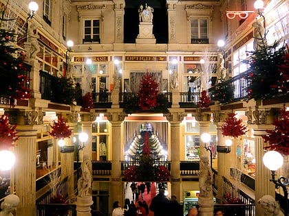
Nearby attractions include: Passage Pommeraye, Nantes Cathedral, Château des ducs de Bretagne, Tomb of Francis II.
Frequently Asked Questions (FAQ)
Which popular attractions are close to Pont Général de la Motte Rouge?
Nearby attractions include Île de Versailles, Nantes (5 min walk), Church of St. Felix, Nantes (6 min walk), St. Clement's Church, Nantes (14 min walk), Saint-Donatien, Nantes (15 min walk).
How to get to Pont Général de la Motte Rouge by public transport?
The nearest stations to Pont Général de la Motte Rouge:
Tram
Bus
Train
Ferry
Tram
- Motte Rouge • Lines: 2 (2 min walk)
- Saint-Félix • Lines: 2 (7 min walk)
Bus
- Brétéché • Lines: C6 (8 min walk)
- Cochard • Lines: C6 (9 min walk)
Train
- Nantes (25 min walk)
Ferry
- Port Boyer • Lines: N3 (26 min walk)
- Petit Port Facultés • Lines: N3 (27 min walk)


