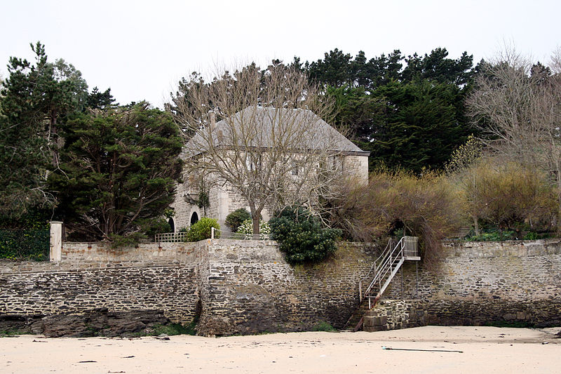
Fortin de Port-Fouquet, Belle Île

Gallery (2)
Map
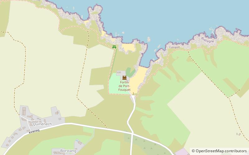
Map
Gallery
Facts and practical information
The fort of Port-Fouquet is a crenellated guardhouse built in 1860, located in the bottom of the ria of Port-Fouquet on the commune of Le Palais, constituting an element of defense of Belle-Île-en-Mer in the Morbihan.
Coordinates: 47°21'37"N, 3°10'24"W
Address
Belle Île
ContactAdd
Social media
Add
Day trips


