Col du Parpaillon

Gallery (1)
Map
Map
Facts and practical information
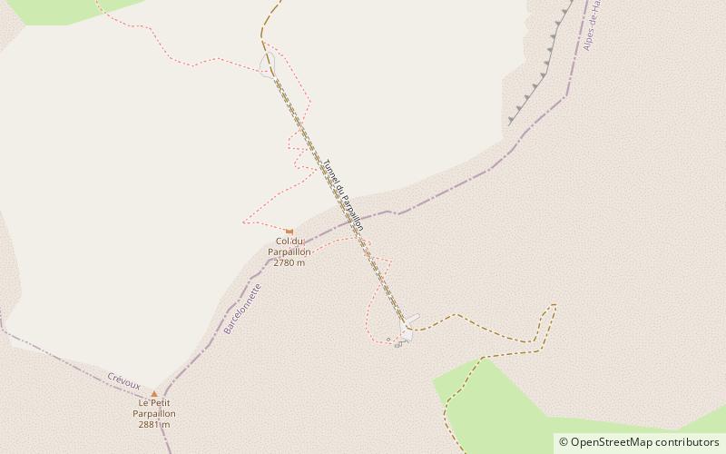
The Col du Parpaillon is a pass in the Cottian Alps of southern France in the Parpaillon massif. It connects La Condamine-Châtelard, the Ubaye Valley in Alpes-de-Haute-Provence department with Crévoux, Embrun in Hautes-Alpes. The crest of the pass rises to 2,780 metres. ()
Location
Provence-Alpes-Côte d'Azur
ContactAdd
Social media
Add
Day trips


