Redoute de Berwick
#4028 among destinations in France
Facts and practical information
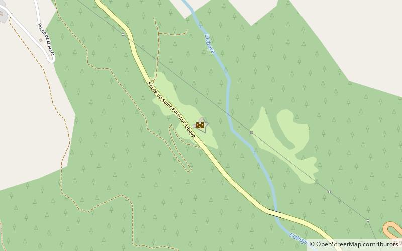
The Berwick redoubt is a redoubt located in Saint-Paul-sur-Ubaye, France, named after Marshal de Berwick.
Provence-Alpes-Côte d'AzurFrance
Redoute de Berwick – popular in the area (distance from the attraction)
Nearby attractions include: Fort de Tournoux, Aiguille de Chambeyron, Brec de Chambeyron, Ouvrage Roche-la-Croix.
1 miSForts and castlesFort de Tournoux
25 min walk • The Fort de Tournoux is a fortification complex in the Ubaye Valley in the French Alps. It was built between 1843 and the early 20th century to defend France against invasion from Italy and Savoy.
6.9 miNENature, Natural attraction, MountainAiguille de Chambeyron
175 min walk • Aiguille de Chambeyron is a mountain of the Cottian Alps and is the highest mountain of Alpes-de-Haute-Provence in southeast France. Together with its neighbour Brec de Chambeyron, it is the dominant peak of the upper Ubaye Valley. The mountain is located near the border with Italy, just west of the Main chain of the Alps.
5.9 miNENature, Natural attraction, MountainBrec de Chambeyron
152 min walk • Brec de Chambeyron is a mountain of the Cottian Alps on the border between France and Italy. It is the second highest summit of the Chambeyron Massif, after Aiguille de Chambeyron and its sharp, rocky peak dominates the Upper Ubaye Valley.
2.7 miSEMuseumOuvrage Roche-la-Croix
70 min walk • Ouvrage Roche-la-Croix is a work of the Maginot Line's Alpine extension, the Alpine Line, also known as the Little Maginot Line.
5.1 miEForts and castlesFort de Viraysse
130 min walk • The Fort de Viraysse is a fortification complex in the Cottian Alps overlooking the Ubaye Valley. It was built between 1885 and 1888 to defend France against invasion from Italy.
5.8 miSWNature, Natural attraction, ValleyUbaye Valley
147 min walk • The Ubaye Valley is an area in the Alpes de Haute-Provence département, in the French Alps, having approximately 7,700 residents. Its residents are called Ubayens. Its principal town is the sous-préfecture of Barcelonnette.
3.3 miEMuseumOuvrage Saint Ours Haut
85 min walk • Ouvrage Saint Ours Haut is a work of the Maginot Line's Alpine extension, the Alpine Line, also known as the Little Maginot Line.
3 miEMuseumOuvrage Saint Ours Bas, Meyronnes
77 min walk • Ouvrage Saint Ours Bas is a lesser work of the Maginot Line's Alpine extension, the Alpine Line. The ouvrage consists of one infantry block.
5.2 miWMountain pass with a famed tunnelCol du Parpaillon
132 min walk • The Col du Parpaillon is a pass in the Cottian Alps of southern France in the Parpaillon massif. It connects La Condamine-Châtelard, the Ubaye Valley in Alpes-de-Haute-Provence department with Crévoux, Embrun in Hautes-Alpes.
4.5 miSChurchÉglise Saint-Nicolas-de-Myre, Jausiers
114 min walk • The Saint-Nicolas-de-Myre church is a Catholic church located in Jausiers, France. The church is baroque, counter-reformation style, more classical and less theatrical than in Italy, Austria, and Spain.
5.2 miSEMemorialWar Memorial, Larche
133 min walk • Monuments aux Morts are French war memorials established to commemorate the losses of World War I.