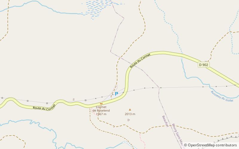
Cormet de Roselend
#1261 among destinations in France


Facts and practical information
Auvergne-Rhône-AlpesFrance
Cormet de Roselend plan & book
Unleash the traveler in you — discover the cheapest flight deals, find the perfect hotel or hostel nearby, and search for the best car rental prices. Travel at your own pace to discover new places and enjoy your journey.
Cormet de Roselend – popular in the area (distance from the attraction)
Nearby attractions include: Tignes – Val d'Isère, Refuge des Mottets, Pierra Menta Mountain, Aiguille du Grand Fond.
6.3 miSEWinter sport, Ski areaTignes – Val d'Isère, Bourg-Saint-Maurice
162 min walk • Tignes – Val d'Isère is the combined ski resort area of Val d'Isère and Tignes in the Tarentaise Valley, Savoie in the French Alps. Formerly known as Espace Killy, in honour of the spectacularly successful skier Jean-Claude Killy who was raised here.There are claimed to be 300...
5.2 miNE 4.3 miSWNature, Natural attraction, MountainPierra Menta Mountain
109 min walk • Pierra Menta is a mountain of Savoie, France. It lies in the Beaufortain Massif range. It has an elevation of 2,714 metres above sea level.
2.1 miSWNature, Natural attraction, MountainAiguille du Grand Fond
54 min walk • Aiguille du Grand Fond is a mountain of Savoie, France. It lies in the Beaufortain Massif range. It has an elevation of 2,920 metres above sea level.
3.4 miSNature, Natural attraction, MountainRoignais
88 min walk • Roignais is a mountain of Savoie, France. It lies in the Beaufortain Massif range. It has an elevation of 2,995 metres above sea level.
7.4 miNENature, Natural attraction, MountainAiguille des Glaciers
188 min walk • The Aiguille des Glaciers is a mountain in the Mont Blanc massif of the Graian Alps. It lies on the borders of Savoie and Haute-Savoie in France and Aosta Valley in Italy.
5.8 miNENature, Natural attraction, MountainMont Tondu
147 min walk • Mont Tondu is a mountain of Savoie, France. It lies in the Mont Blanc massif and has an elevation of 3,196 metres above sea level.
5.4 miSWNature, Natural attraction, MountainMont Coin
139 min walk • Mont Coin is a mountain of Savoie, France. It lies in the Beaufortain Masif range. It has an elevation of 2,539 metres above sea level.
6.5 miNWChurchSt. James Church, Hauteluce
166 min walk • The Saint-Jacques-d'Assyrie church is a Catholic church located in Hauteluce, France. It is dedicated to Saint Jacques de Tarentaise, also known as Jacques d'Assyrie.
1.5 miNENature, Natural attraction, MountainCrête des Gittes
40 min walk • Crête des Gittes is a mountain of Savoie, France. It lies in the Beaufortain Massif range. It has an elevation of 2,538 metres above sea level.
4.3 miNNature, Natural attraction, MountainTête de la Cicle
110 min walk • Tête de la Cicle is a mountain of Savoie, France. It lies in the Beaufortain Massif range and has an elevation of 2,552 metres above sea level.