Aiguille des Glaciers
Map
Map

Facts and practical information
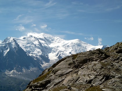
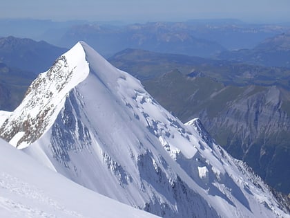
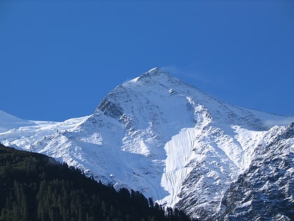
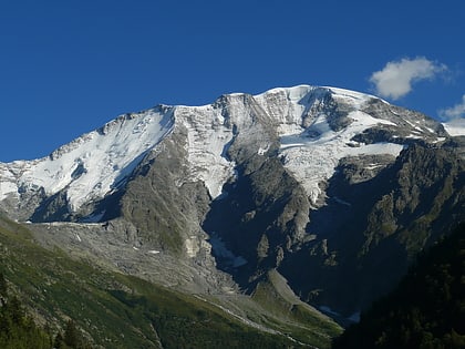
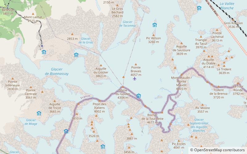
The Aiguille des Glaciers is a mountain in the Mont Blanc massif of the Graian Alps. It lies on the borders of Savoie and Haute-Savoie in France and Aosta Valley in Italy. ()
Alternative names: First ascent: 1878Elevation: 12520 ftProminence: 981 ftCoordinates: 45°46'17"N, 6°47'43"E
Location
Auvergne-Rhône-Alpes
ContactAdd
Social media
Add
Day trips
Aiguille des Glaciers – popular in the area (distance from the attraction)
Nearby attractions include: Tour Ronde, Dôme du Goûter, Aiguille de Bionnassay, Mont Joly.


