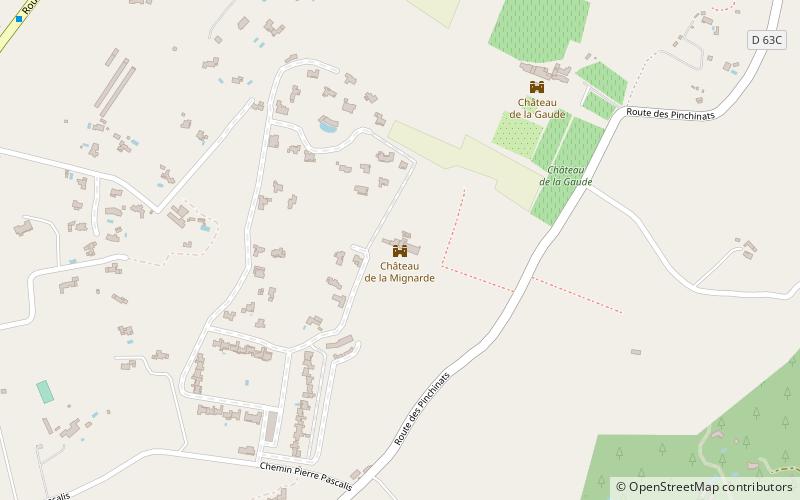
Château de la Mignarde, Aix-en-Provence
Map
Facts and practical information
The Château de la Mignarde is a listed château in Aix-en-Provence. ()
Address
Plateau de Puyricard (Sud Est Plateau Puyricard)Aix-en-Provence
ContactAdd
Social media
Add
Getting there by public transportation
Public transportation stops near this location
- Bus
 Bus
Bus
- Calculate routeParc Rigaud 8 min walk
- Calculate routeMas d'Aubère 13 min walk
- Calculate routePascalis 13 min walk
- Calculate routeLa Petite Mignarde 14 min walk
Day trips


Frequently Asked Questions (FAQ)
How to get to Château de la Mignarde by public transport?
The nearest stations to Château de la Mignarde:
Bus
Bus
- Parc Rigaud • Lines: 23 (8 min walk)
- Mas d'Aubère • Lines: 120, 25 (13 min walk)