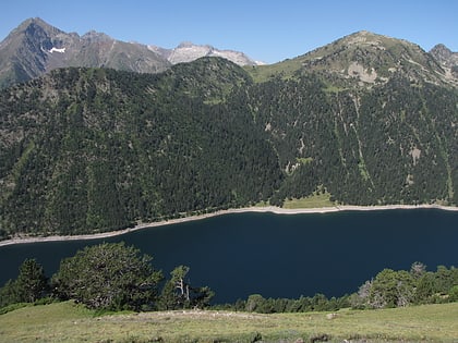
Pla d'Adet, Saint-Lary-Soulan
Map
Gallery
Facts and practical information
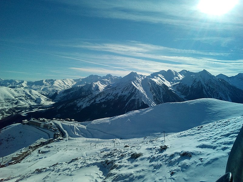
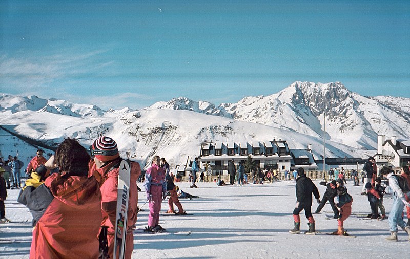
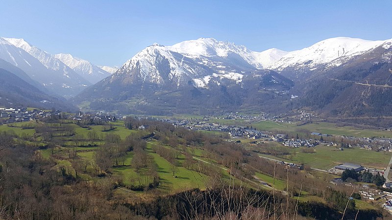
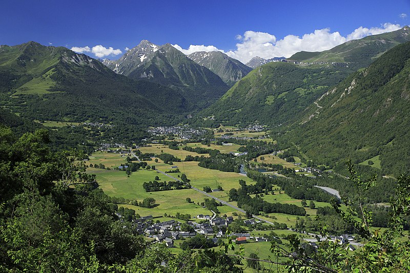
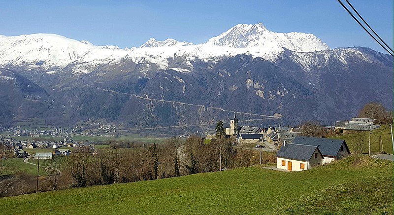
Pla d'Adet or Saint-Lary 1700 is a ski resort in the French Pyrenees, in the department of Hautes-Pyrénées, and the region Midi-Pyrénées. The resort is situated above the village of Saint-Lary-Soulan, at an altitude of 1,680 metres. The climb to the ski station is frequently used as a stage finish in the Tour de France cycle race. ()
Local name: Saint-Lary-Soulan Base elevation: 2723 ftTop elevation: 10479 ftCoordinates: 42°48'45"N, 0°17'40"E
Address
2 Route du Pla d'AdetSaint-Lary-Soulan 65170
Contact
+33 5 62 40 99 59
Social media
Add
Day trips
Pla d'Adet – popular in the area (distance from the attraction)
Nearby attractions include: Val-Louron, Lac de l'Oule, Lac d'Arredoun, Sailhan.


