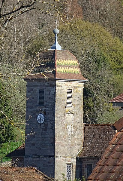
Temple luthérien

Gallery (2)
Map
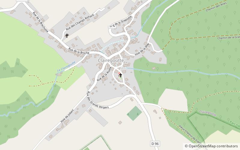
Map
Gallery
Facts and practical information
The Lutheran Temple of Clairegoutte is a Protestant religious building located in Clairegoutte, Haute-Saône. The parish is attached to the United Protestant Church of France.
Coordinates: 47°39'47"N, 6°37'15"E
Location
Bourgogne-Franche-Comté
ContactAdd
Social media
Add
Day trips