Cize–Bolozon viaduct

Gallery (1)
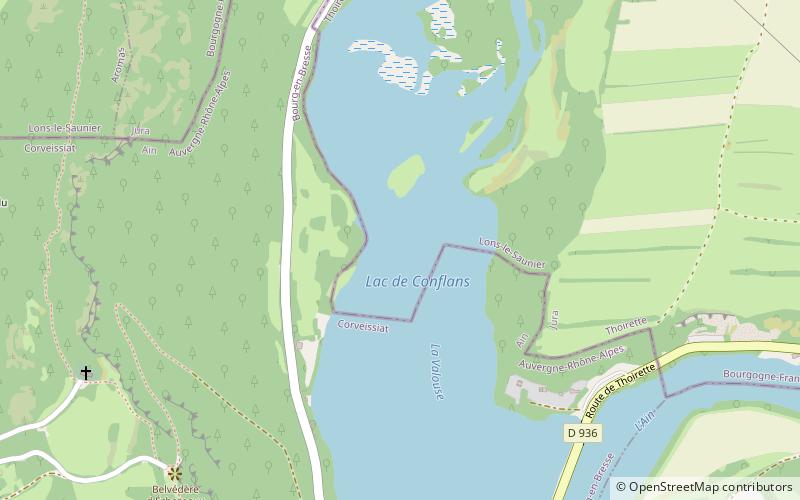
Map
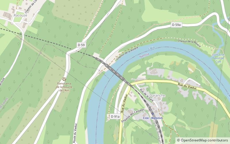
Map
Facts and practical information
The Cize–Bolozon viaduct is a combination rail and vehicular viaduct crossing the Ain gorge in France connecting the communes of Cize and Bolozon in the Ain département. ()
Local name: Viaduc de Cize-Bolozon Opened: 1875 (151 years ago)Length: 896 ftHeight: 240 ftCoordinates: 46°12'56"N, 5°27'4"E
Location
Auvergne-Rhône-Alpes
ContactAdd
Social media
Add
Day trips