Lac de Conflans

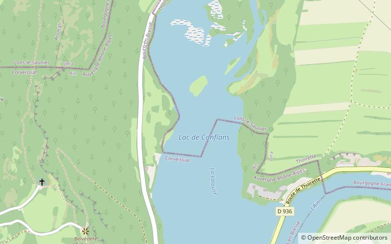
Map
Facts and practical information
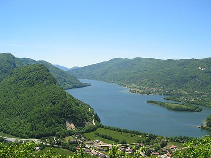
Lac de Conflans is a lake at the confluence of the rivers Ain and Valouse. It lies in the communes of Thoirette, in the Jura department, and Corveissiat in the Ain department of France. ()
Alternative names: Area: 49.42 acres (0.0772 mi²)Length: 3117 ftWidth: 820 ftMaximum depth: 26 ftElevation: 935 ft a.s.l.Coordinates: 46°16'0"N, 5°30'20"E
Location
Auvergne-Rhône-Alpes
ContactAdd
Social media
Add
Day trips
Lac de Conflans – popular in the area (distance from the attraction)
Nearby attractions include: Cize–Bolozon viaduct, Lac de Coiselet, Château de Cornod.


