La Maison de Pierre la Cime, Molines-en-Queyras

Gallery (1)
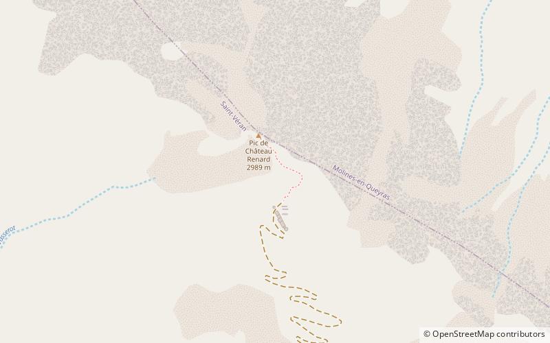
Map
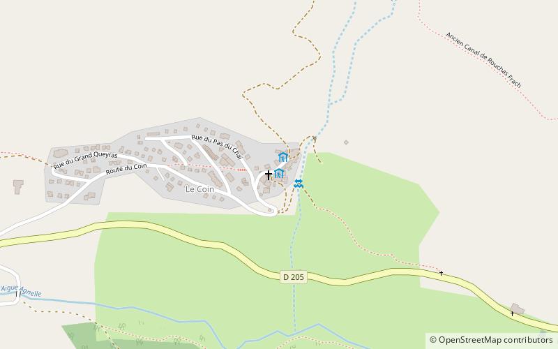
Map
Facts and practical information
La Maison de Pierre la Cime is a place located in Molines-en-Queyras (Provence-Alpes-Côte d'Azur region) and belongs to the category of hiking, alpine hut.
It is situated at an altitude of 6594 feet, and its geographical coordinates are 44°43'36"N latitude and 6°52'31"E longitude.
Among other places and attractions worth visiting in the area are: Saint-Romain Church (church, 47 min walk), Observatory of Saint-Veran (observatories and planetariums, 65 min walk), Aiguilles (locality, 98 min walk).
Coordinates: 44°43'36"N, 6°52'31"E
Address
Molines-en-Queyras
ContactAdd
Social media
Add
Day trips