L'Estran, Guidel
Map

Map

Facts and practical information
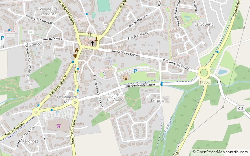
L'Estran (address: 1 Allée de Kerprat) is a place located in Guidel (Brittany region) and belongs to the category of concerts and shows, theater.
It is situated at an altitude of 128 feet, and its geographical coordinates are 47°47'17"N latitude and 3°29'9"W longitude.
Among other places and attractions worth visiting in the area are: Chapelle Saint-Mathieu (church, 56 min walk), Fort du Loch (forts and castles, 71 min walk), Maison-Musée du Pouldu sur les traces de Gauguin, Clohars-Carnoët (specialty museum, 81 min walk).
Coordinates: 47°47'17"N, 3°29'9"W
Address
1 Allée de KerpratGuidel
ContactAdd
Social media
Add
Day trips
L'Estran – popular in the area (distance from the attraction)
Nearby attractions include: Stade du Moustoir, Le poisson volant, Cléguer, La Flore.


