Mont Noir

Gallery (1)
Map
Map
Facts and practical information
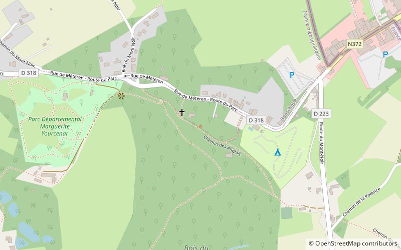
Mont Noir is a French hill 152 metres above sea level in Flanders, a few hundred metres from the Belgian border and a few kilometres from Bailleul. It takes its name from the presence of a high concentration of black pine woodland, which covers the hillside. ()
Location
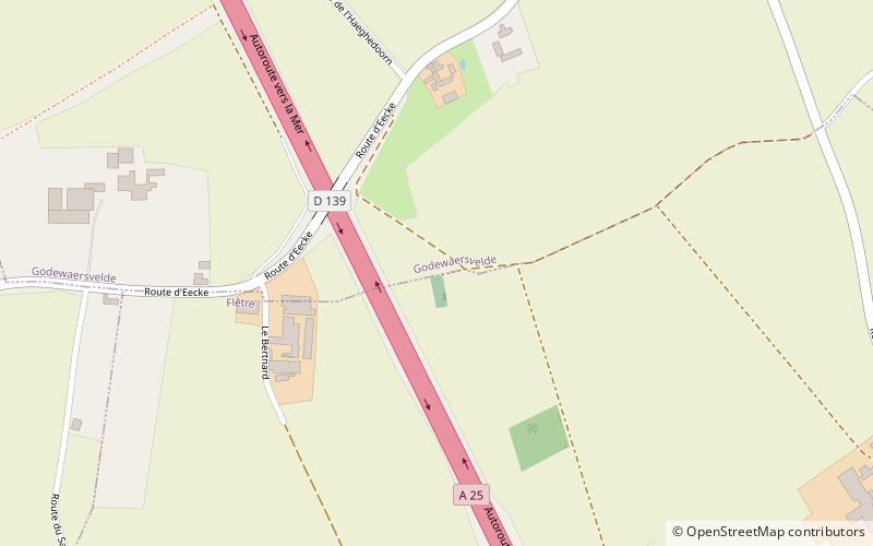
Mont NoirHauts-de-France
ContactAdd
Social media
Add
Day trips
Mont Noir – popular in the area (distance from the attraction)
Nearby attractions include: Mont des Cats, Bertenacre Military Cemetery, Ondankmeulen, Jardin des Plantes Sauvages du Conservatoire botanique national de Bailleul.