Savines Bridge, Savines-le-Lac

Gallery (2)
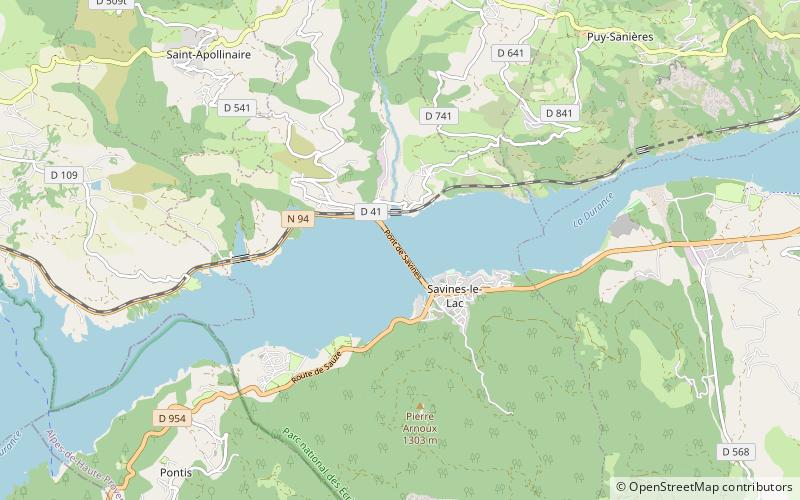
Map
Map
Gallery
Facts and practical information
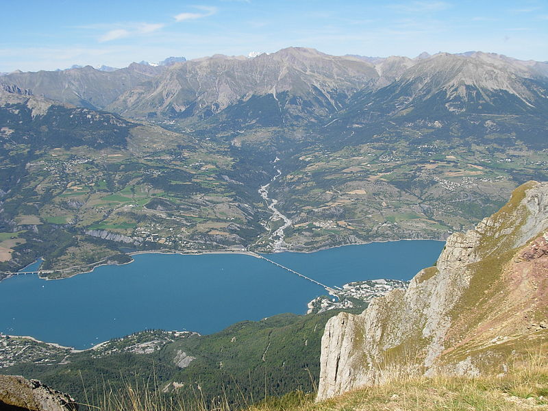
The Savines Bridge is a 924m concrete viaduct in Savines-le-Lac, in the Provence Alps and Prealps of south-east France, built in 1960. It crosses a reservoir of the Durance river. ()
Local name: Pont de Savines Opened: 1960 (66 years ago)Length: 3031 ftWidth: 30 ftHeight: 164 ftCoordinates: 44°31'53"N, 6°23'44"E
Address
Savines-le-Lac
ContactAdd
Social media
Add
Day trips


