Lac de Serre-Ponçon
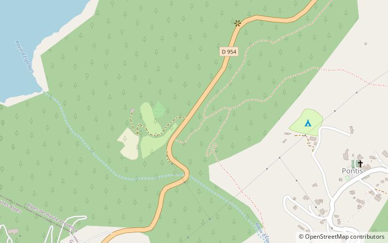
Map

Map

Facts and practical information
Lake Serre-Ponçon is a reservoir in the departments of Hautes-Alpes and Alpes-de-Haute-Provence, Provence-Alpes-Côte d'Azur region, in southeast France, one of the largest in Western Europe. The lake gathers the waters of the Durance and the Ubaye rivers, flowing down through the Hautes-Alpes and the Alpes du Sud to the Rhône. The waters are dammed by the Barrage de Serre-Ponçon, a 123-metre high earth core dam. ()
Alternative names: Built: 1955 (71 years ago)Area: 10.89 mi²Length: 12.43 miWidth: 9843 ftMaximum depth: 295 ftElevation: 3274 ft a.s.l.Coordinates: 44°30'21"N, 6°21'0"E
Location
Provence-Alpes-Côte d'Azur
ContactAdd
Social media
Add
Day trips
Lac de Serre-Ponçon – popular in the area (distance from the attraction)
Nearby attractions include: Pic de Morgon, Savines Bridge, Demoiselles Coiffées de Pontis, Le Lauzet-Ubaye.


