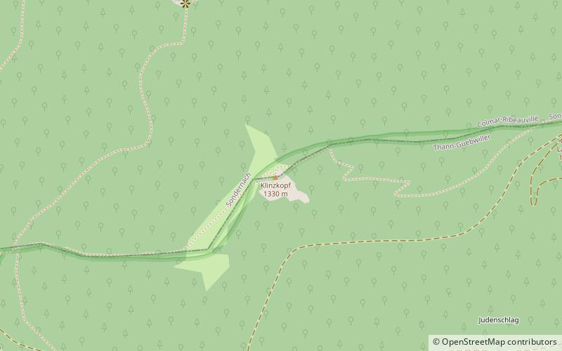
Klintzkopf
#1740 among destinations in France

Facts and practical information
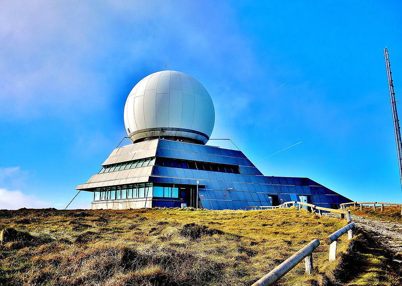
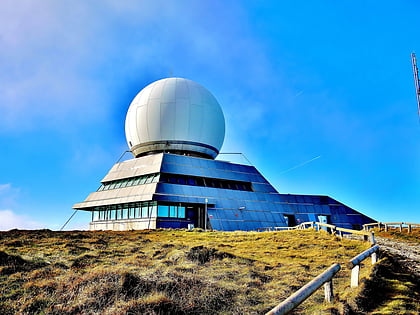
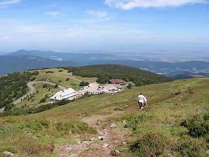
The Klintzkopf, located in the French region of Alsace, is the fifth-highest summit of the Vosges Mountains. ()
Grand EstFrance
Klintzkopf plan & book
Unleash the traveler in you — discover the cheapest flight deals, find the perfect hotel or hostel nearby, and search for the best car rental prices. Travel at your own pace to discover new places and enjoy your journey.
Klintzkopf – popular in the area (distance from the attraction)
Nearby attractions include: Grand Ballon, Lac de la Lauch, Petit Ballon, Lac du Ballon.
 Nature, Natural attraction, Outdoor activities
Grand Ballon, Guebwiller
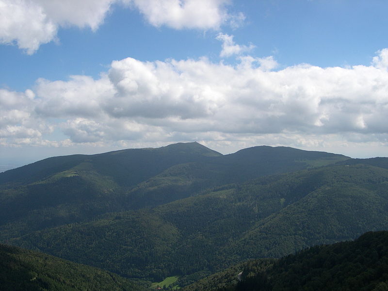
99 min walk • Grand Ballon, the highest peak of the Vosges Mountains, stands proudly near the city of Guebwiller, France. This mountain, with its summit reaching an elevation of 1,424 meters, offers breathtaking views and a refreshing escape into nature.
 Nature, Natural attraction, Lake
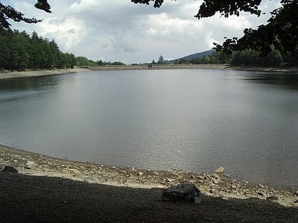
Lac de la Lauch
30 min walk • Nestled in the picturesque Vosges Mountains of Alsace, France, Lac de la Lauch is a serene alpine lake that offers a tranquil escape from the bustling world beyond its shores. This pristine body of water is situated at an altitude of approximately 900 meters, providing...
 Nature, Natural attraction, Mountain
Petit Ballon
99 min walk • The Petit Ballon or Little Belchen, is, at 1272m, one of the highest peaks of the Vosges Mountains in the department of Haut-Rhin, Alsace in France, about 5 km away from the village of Wasserbourg. The Rothenbrunnen mountain hut is 500m below. A car park is a further 500m away. The Col du Petit Ballon pass is close to the summit.
 Nature, Natural attraction, Lake
Lac du Ballon
80 min walk • Lac du Ballon is a reservoir in Haut-Rhin, France situated in a side valley of florival, on the slope of Grand Ballon mountain. At an elevation of 988 m, its surface area is 0.08 km². The small glacial lake was enlarged by a dam on the moraine already in the 16th century.
 Nature, Natural attraction, Outdoor activities
Lac de Kruth-Wildenstein, Kruth
119 min walk • Lac de Kruth-Wildenstein is a lake in Haut-Rhin, France. At an elevation of 545 m, its surface area is 0.81 km².
 Area
AreaLautenbachzell, Lautenbach
112 min walk • Lautenbachzell is a commune in the Haut-Rhin department in Grand Est in north-eastern France.
 Nature, Natural attraction, Mountain
Storkenkopf
85 min walk • The Storkenkopf is the second-highest summit of the Vosges Mountains. It is located in the French region of Alsace, close to the Grand Ballon.
 Forts and castles
Château de Wildenstein
115 min walk • The Château de Wildenstein is a ruined castle in the Alsace region of France, situated in the commune of Kruth in the Haut-Rhin département.
 Natural feature, Nature
Vosges
111 min walk • The Vosges are a range of low mountains in Eastern France, near its border with Germany. Together with the Palatine Forest to the north on the German side of the border, they form a single geomorphological unit and low mountain range of around 8,000 km2 in area.
 Nature, Natural attraction, Mountain pass
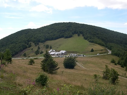
Col du Grand Ballon
97 min walk • The Col du Grand Ballon is a mountain pass situated close to the summit of the Grand Ballon in the Vosges Mountains of France. It connects Cernay with Le Markstein winter sports station.