Vosges
Map
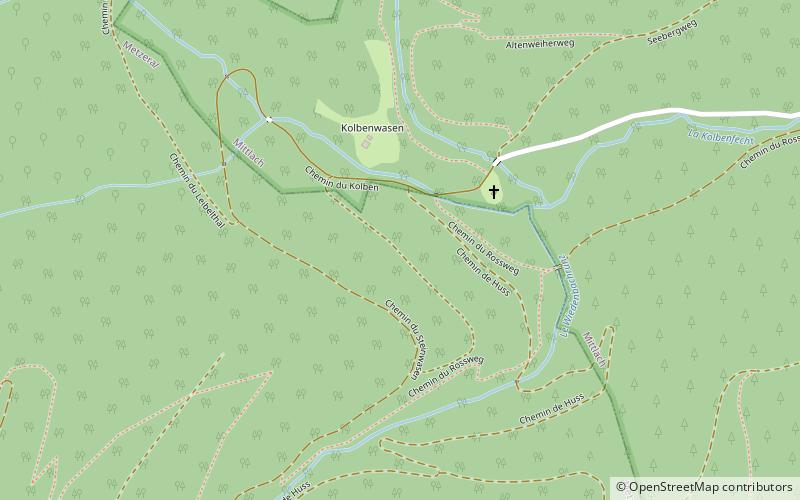
Map

Facts and practical information
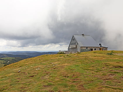
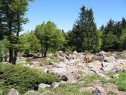
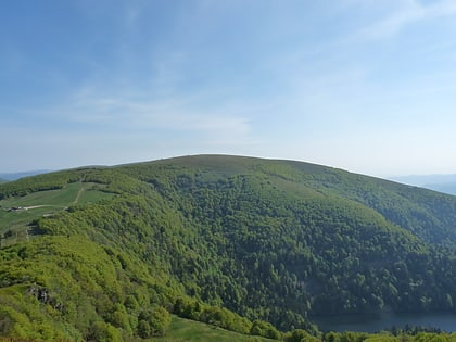
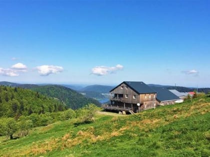
The Vosges are a range of low mountains in Eastern France, near its border with Germany. Together with the Palatine Forest to the north on the German side of the border, they form a single geomorphological unit and low mountain range of around 8,000 km2 in area. It runs in a north-northeast direction from the Burgundian Gate to the Börrstadt Basin, and forms the western boundary of the Upper Rhine Plain. ()
Location
Grand Est
ContactAdd
Social media
Add
Day trips
Vosges – popular in the area (distance from the attraction)
Nearby attractions include: Hohneck, Lac de Retournemer, Fischboedle, Schiessrothried.

