Église Saint-Baudile, Tornac
Map
![Église Saint-Baudile location map](https://tzmedia.b-cdn.net/media/images/static-maps/fr/44_0214_3_99127.jpg)
Map
![Église Saint-Baudile location map](https://tzmedia.b-cdn.net/media/images/static-maps/fr/44_0214_3_99127.jpg)
Facts and practical information
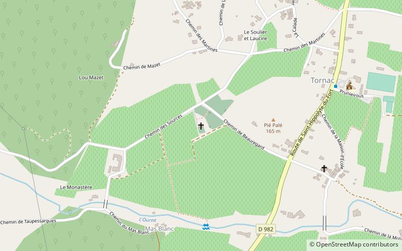
The Monastery of Tornac, are a set of monastic ruins whose remains can be seen, which give a good impression of what the abbey must have looked like in its heyday.
Coordinates: 44°1'17"N, 3°59'29"E
Day trips
Église Saint-Baudile – popular in the area (distance from the attraction)
Nearby attractions include: Bambouseraie de Prafrance, Musée du Désert, Clock Tower, Forest Parc.