Massillargues-Atuech, Massillargues-Attuech

Gallery (1)
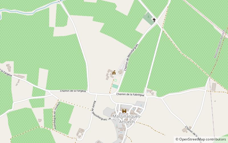
Map
Map
Facts and practical information
Massillargues-Atuech is a place located in Massillargues-Attuech (Occitanie region) and belongs to the category of city hall.
It is situated at an altitude of 413 feet, and its geographical coordinates are 44°1'3"N latitude and 4°1'24"E longitude.
Among other places and attractions worth visiting in the area are: Lézan (locality, 35 min walk), Église Saint-Baudile, Tornac (church, 42 min walk), Château de Tornac (forts and castles, 46 min walk).
Coordinates: 44°1'3"N, 4°1'24"E
Address
Massillargues-Attuech
ContactAdd
Social media
Add
Day trips


