Hartmannswillerkopf Franco-German Historial, Wattwiller

Gallery (1)
Map
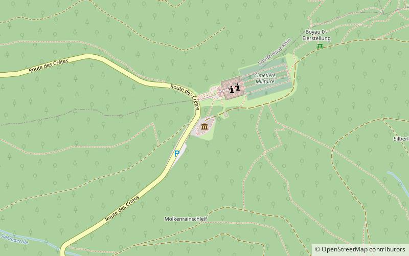
Map
Facts and practical information
Hartmannswillerkopf Franco-German Historial (address: D431, Col du Silberloch) is a place located in Wattwiller (Grand Est region) and belongs to the category of historical place, battlefield, museum.
It is situated at an altitude of 2930 feet, and its geographical coordinates are 47°51'28"N latitude and 7°8'56"E longitude.
Among other places and attractions worth visiting in the area are: Hartmannswillerkopf (museum, 16 min walk), Château de Freundstein, Ballons des Vosges Nature Park (forts and castles, 37 min walk), Willer-sur-Thur (locality, 51 min walk).
Coordinates: 47°51'28"N, 7°8'56"E
Day trips