Mairie de Cernay, Cernay

Gallery (1)
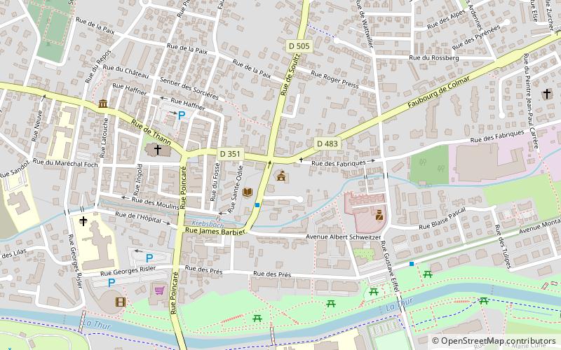
Map
Map
Facts and practical information
Cernay is a commune in the Haut-Rhin department in Grand Est in north-eastern France. ()
Day trips


Frequently Asked Questions (FAQ)
Which popular attractions are close to Mairie de Cernay?
Nearby attractions include War Memorial, Cernay (5 min walk), Saint Stephen's Church, Cernay (5 min walk).