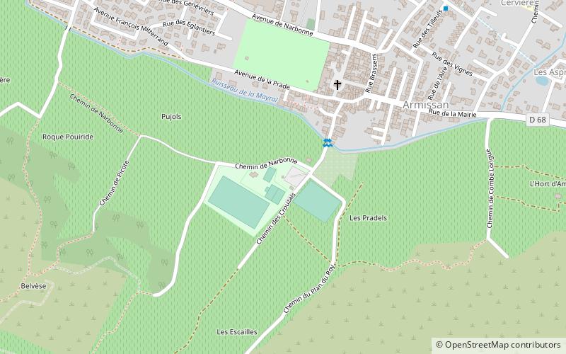
Club House du Armissan Tennis Clape, Armissan
Map

Map

Facts and practical information
Club House du Armissan Tennis Clape (address: 1 rue saint Etienne) is a place located in Armissan (Occitanie region) and belongs to the category of museum.
It is situated at an altitude of 115 feet, and its geographical coordinates are 43°11'4"N latitude and 3°5'36"E longitude.
Among other places and attractions worth visiting in the area are: St. Martin's Church, Vinassan (church, 41 min walk), Grotte de la Crouzade (nature, 95 min walk), St. Martin's Church, Fleury (church, 95 min walk).
Coordinates: 43°11'4"N, 3°5'36"E
Address
1 rue saint EtienneArmissan
ContactAdd
Social media
Add
Day trips
Club House du Armissan Tennis Clape – popular in the area (distance from the attraction)
Nearby attractions include: Les Halles, Narbonne Cathedral, Tour Barberousse, Pont des Marchands.


