Passo Tanarello
Map
![Passo Tanarello location map](https://tzmedia.b-cdn.net/media/images/static-maps/fr/44_0793_7_71513.jpg)
Map
![Passo Tanarello location map](https://tzmedia.b-cdn.net/media/images/static-maps/fr/44_0793_7_71513.jpg)
Facts and practical information
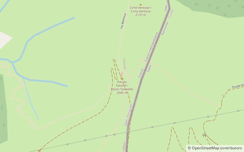
Passo Tanarello or Pas du Tanarel at 2,042 m is a mountain pass in the Ligurian Alps. It connects the valleys of Roya in France and Tanaro in Italy. ()
Maximum elevation: 6699 ftCoordinates: 44°4'45"N, 7°42'54"E
Location
Provence-Alpes-Côte d'Azur
ContactAdd
Social media
Add
Day trips
Passo Tanarello – popular in the area (distance from the attraction)
Nearby attractions include: Our Lady of the Fountains, Monte Tanarello, Cime de Capoves, Saint Martin's Collegiate Church.