Cime de Capoves

Gallery (1)
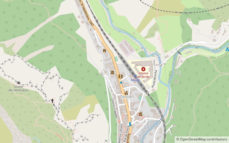
Map
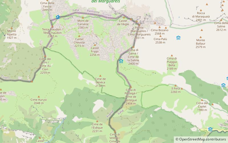
Map
Facts and practical information
The Cime de Capoves or Cima Capoves is a mountain of the Ligurian Alps located in the French region of Provence-Alpes-Côte d'Azur, close to the French-Italian border. ()
Elevation: 7415 ftProminence: 174 ftCoordinates: 44°9'13"N, 7°40'9"E
Location
Provence-Alpes-Côte d'Azur
ContactAdd
Social media
Add
Day trips