Lorraines Branch

Map
Facts and practical information
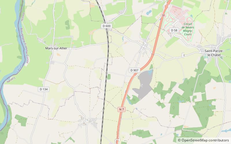
The Lorraines Branch is a canal in central France, some 50 km east of Bourges. It is a disused branch of the Canal latéral à la Loire now serving as a feeder from the Allier River. At one time it carried traffic from the Allier via a circular lock. The Ecluse de Lorraines was 32 km in diameter with three gates providing access from the river on two levels above and below a weir. ()
Coordinates: 46°55'26"N, 3°3'25"E
Location
Centre-Loire Valley
ContactAdd
Social media
Add
Day trips
Lorraines Branch – popular in the area (distance from the attraction)
Nearby attractions include: Palais ducal de Nevers, Nevers Cathedral, Château d'Apremont-sur-Allier, Château de Villars.


